The Weather Network
Weather
Maps
News
Video
Assistant
|
Welcome
Stay informed - from sunny days to stormy nights
It's Monday, July 7th
Content continues below
Weather and science news with expert analysis
News
Read more news
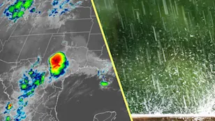
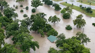
Texas storms triggered a ‘large and deadly flood wave’
2:30
"Complete shock": Survivors of Texas flash flood recount terrible event
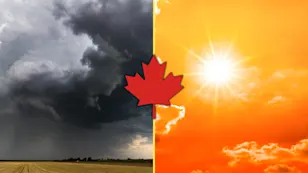
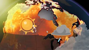
Canada experiences wild weather extremes in a normal July
1:08
Why you'll never hear of a hurricane with these names
How seawater and limestone could be used to reduce maritime emissions
1:05
Young campers still missing Sunday as flash flood death toll rises
Death toll from Texas floods reaches 67, including 21 children
1:15
River of cars runs through city as record-breaking floods hit China
Climate-proofing homes more important than ever, say experts
1:27
Stay ready for any disaster with these emergency kit supplies
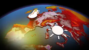
The heat is on! Where will Canada sizzle the most in July?
0:45
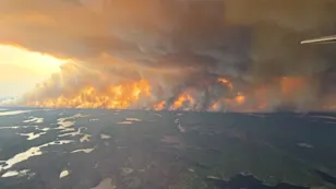
Satellite captures wildfire growing at alarming rate in California
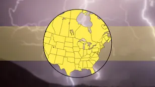
U.S. notches 1,000 tornadoes in 2025, how does Canada compare?
1:40
Bitten by a leech? Why salt can do more harm than good
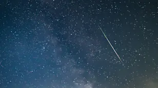
Overlapping meteor showers: What's up in July's night sky
1:46
Got the summer blues? Here’s what could be going on
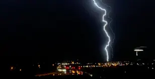
Hair suddenly standing straight up? Take cover immediately
1:46
Mysterious ball of light caught on camera during Alberta storm
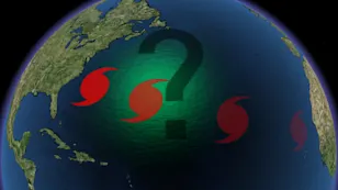
A later start to hurricane season may have you asking, where are the storms?
0:40
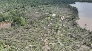
Mudslide crashes into apartment building trapping people in homes
What forecasters are predicting for Canada's 2025 wildfire season
0:46
Monthly outlook: July ushers in summer heat to much of Canada
Don’t make this deadly mistake when waiting out a storm
0:40
Storm chasers spot tornado in Alberta amid severe storms
Scorching heat hits 46ºC — and it's not over yet for some regions
1:00
First snow in over three decades blankets beaches in Argentina
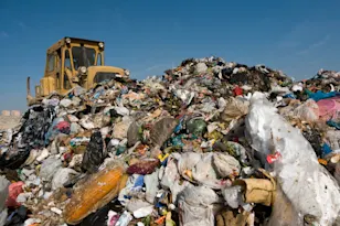
We don’t know what happens to the waste we recycle, and that’s a problem
2:00
Level up your camping game with these simple tips
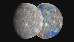
Researchers may have finally found meteorites from Mercury
2:37
Out-of-control wildfires burn near Lytton and Chase, B.C.
Radar Map
See all maps
Content continues below