The Weather Network
Weather
Maps
News
Video
Assistant
|
Welcome
We reveal the remarkable every day
It's Monday, July 14th
Content continues below
Weather and science news with expert analysis
News
Read more news
La Niña could return in a quick burst this fall and winter
1:15
Sewer explodes, ripping street open during extreme rain event
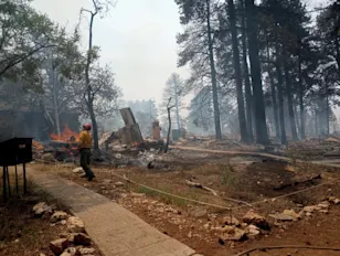
Wildfire guts historic Grand Canyon lodge
1:20
Why do storms typically only move west to east?
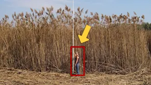
'Once you see it, you can't unsee it': The 'road-trip ruiner' plant is spreading
1:43
Hidden emotions of bugs revealed in macro photos
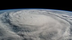
Busy hurricane season still expected in updated Atlantic outlook
1:45
GTA floods one year later, $1B price tag from days of heavy rain
Summertime sadness? It could be Reverse Seasonal Affective Disorder
0:50
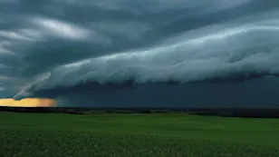
Thunderstorm brings hail and rain to southern Alberta
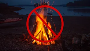
Canada's fire bans and danger ratings explained
1:00
Cool down your car faster with this simple hack
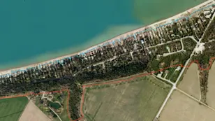
$750M in buildings threatened by erosion on S. Lake Huron
1:25
What extends the golf season in this Canadian hotspot?
Gone fishin'? Bring your leftover worms back home with you
1:40
Paddleboarder pens book after 2000 km trip from Ottawa to New York
The deadly heat wave that spawned a destructive Ontario derecho
1:05
Camera records flash flood destroying store in just 60 seconds
Explore the thrilling lives of some of Canada’s top storm chasers
1:04
One of the rarest cloud formations seen over Canada
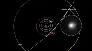
An alien comet is now passing through our solar system. Here's what we know
1:15
Could a tornado really pick up a cow like in the movies?
Indoor PM2.5 spiked above safe levels during June wildfire smoke, report shows
1:14
Why don't hurricanes cross the equator?
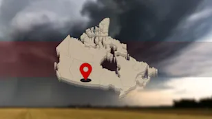
Tornado outbreak confirmed after 10 twisters strike in one day
1:45
Track Calgary's real-time air quality info at this website
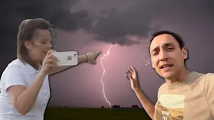
Here's what summer driving can do to your skin
1:31
Watch as a house gets swept away by flash floods in New Mexico
Watch thousands of beluga whales embark on their annual migration live
1:26
Recent shark sightings prompt concerns; should Canadians be worried?
Radar Map
See all maps
Content continues below