Flood warnings for Upper Fraser, Chilcotin rivers amid 'astounding' snowmelt
Emergency officials say high heat is melting glaciers between Prince George and Jasper, Alta.
Flood watches for two major rivers in B.C.'s Interior have been upgraded to warnings as river levels continue to rise amid the heat wave affecting most of the province.
The Upper Fraser River and Chilcotin River are both expected to, or have already, exceeded their banks.
Temperatures in both regions, while forecast to cool on Thursday, are still well above normal.
McBride, B.C., located on the Fraser River in the Robson Valley, is forecast to reach 38 C on Wednesday and 31 C Thursday and Friday. The seasonal average is 21 C.
On Wednesday, emergency officials said the Fraser River is rising rapidly in the Robson Valley, as high heat melts glaciers and snow capped mountains between Prince George and Jasper, Alta.

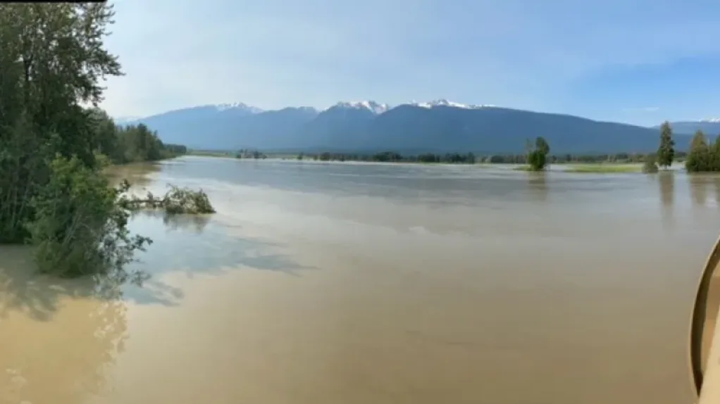
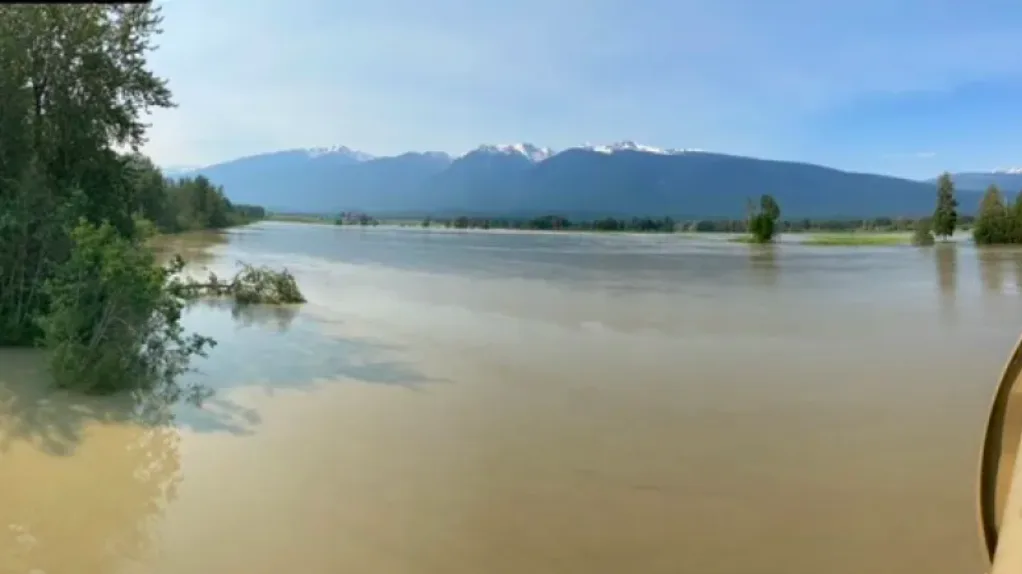
The Fraser River rises beneath the Highway 16 bridge near McBride on Wednesday morning. Officials say the bridge is not at risk. (Submitted by Ministry of Transportation, McBride office)
MUST SEE: B.C. village scores hottest temperature hat trick no Canadian wants
"Glaciers are melting because the temperature is really extreme out there," Anita de Dreu, emergency services co-ordinator for the Regional District of Fraser Fort George, told CBC News on Wednesday.
"The temperature is really extreme out there. Once that melt starts to happen, it takes a very drastic drop in temperature for that to stop, and that's not going to happen."
De Dreu says only the snow above 6,000 metres was still frozen. She says that's unprecedented and the Fraser is the highest that locals have ever seen.
The B.C. River Forecast Centre called the amount of snowmelt at the higher elevations "astounding."
In a warning issued this week, the forecast centre said the snowpack is melting at a rate of up to 100 millimetres of snow water equivalent each day.
Emergency officials say lightning storms forecast for Wednesday may dump more precipitation into the rising Fraser River.
De Dreu says one family in the Robson Valley has already left their home. Occupants of five other houses are sandbagging. She says many more riverfront homes could also be affected.
"We're encouraging residents to bring your livestock and your animals to higher ground."

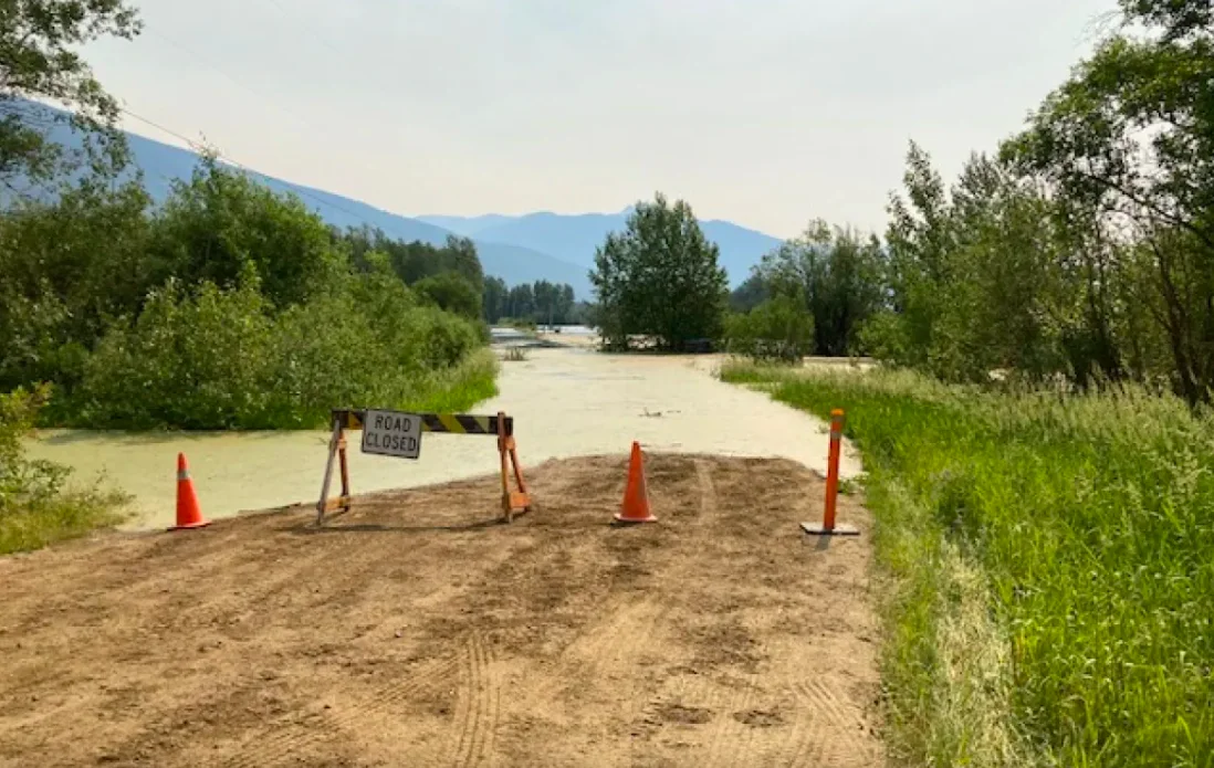
Officials closed Horseshoe Lake Road in the McBride area yesterday. (Submitted by Ministry of Transportation, McBride office )
Several roads in the McBride area have been affected by ground movement or flood water.
Properties in the Robson Valley and areas from Sinclair Mills upstream to Torpy, Dome Creek, Dore River, McBride and surrounding tributaries, are affected by the flood watch on the Upper Fraser River.
While emergency officials closely monitor the water levels in the Fraser and its tributaries, they're also preparing for the possibility of a wildfire.
"We are very concerned about fire starts and how fast those fires will start and spread," said de Dreu "It's unusual to be dealing with flooding and a wildfire potential at the same time."
Meanwhile, in the Chilcotin, the B.C. River Forecast Centre says the extremely hot temperatures are triggering an "unprecedented" amount of snowmelt.
Included in the Chilcotin River flood warning are the Taseko River, Chilko River, Chilcotin River, Big Creek and surrounding tributaries draining from the Chilcotin Mountains.
This article was originally published by CBC News.