Dry spell continues in Ontario, scorching heat expected to intensify
Much of Ontario remains gripped with heat warnings, with no relief in sight this week.
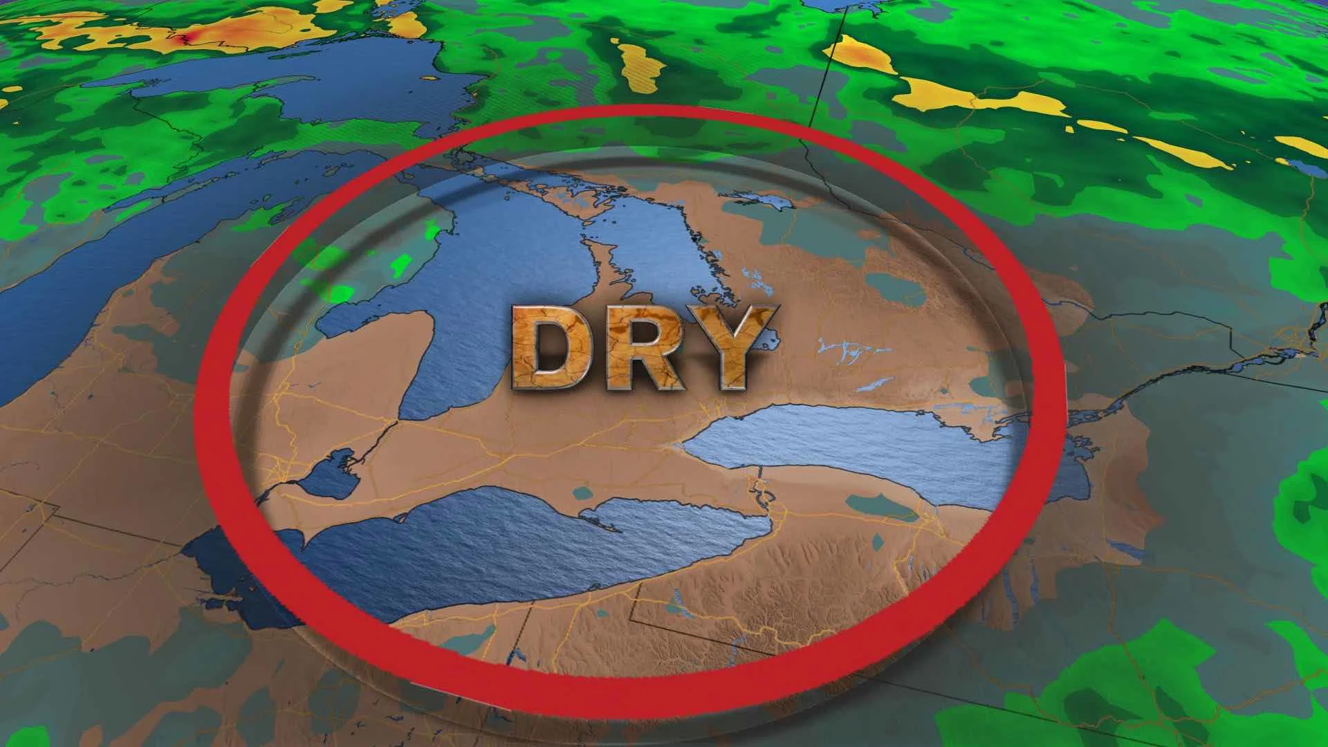
Much of Ontario remains in a stationary pattern of hot, dry weather this week, with temperatures and humidex values expected to intensify. Heat warnings remain in place, with widespread temperatures near or above 30°C expected for the next several days, along with humidex values approaching or exceeding the 40s. It may not be until Sunday that we see a temporary, short drop in temperatures, but the humidity will linger. Along with the heat comes the chance for thunderstorms on Tuesday. Details and timing, below.
Visit our Complete Guide to Summer 2020 for an in-depth look at the Summer Forecast, tips to plan for it and much more
WEATHER HIGHLIGHTS:
Below normal rainfall in most of southern Ontario over last two months
Remaining dry, hot, humid through the week
Thunderstorm risk on Tuesday
Keep an eye on weather ALERTS in your area
STRETCH OF BONE-DRY CONDITIONS IN ONTARIO
The majority of southern Ontario has received below normal amounts of rainfall over the last 60 days, with most areas experiencing 30-50 days of recorded rainfall of less than 0.5 mm.
Toronto received only 70 per cent of its normal precipitation in June, and so far, no rainfall has been recorded in July. Windsor and Ottawa received 74 and 96 per cent of their normal precipitation amounts in June, respectively.
The unrelenting, sweltering heat and humidity will continue this week with temperatures near or above 30°C across Ontario. A humidex value of 40 or higher will become more widespread by mid-week.

Tuesday will be particularly hot with the potential for many places to reach the mid-30s and the humidex approaching 40 in most of the south and parts of the Nickel Belt region.
The humidity will fuel the risk of thunderstorms on Tuesday and much of the province will see the potential for active weather. While most areas will remain dry, some could see a burst of heavy rain in the thunderstorms that occur.

The hot and dry conditions have elevated the fire danger in Ontario, with more than 20 fires currently out of control across the northern regions.
Thursday and Friday will likely be the hottest days this week, with most areas in the southern half of the province expected to see daytime highs in the mid-30s while humidex values hit or surpass 40.

Some temporary relief from the heat may occur Sunday, with daytime highs returning to seasonal, but the humidity will linger. However, the overall hot pattern will continue into mid-July.


