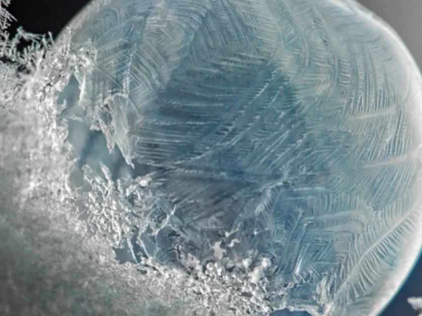
Normally-balmy Vancouver notches its coldest temperature in half a century
The West Coast's normally temperate winter weather has deserted it, with cold-weather records broken this week.
Out of all of Canada, you can normally count on the B.C. South Coast to escape the occasionally brutal Canadian winters.
This year, however, the province is definitely feeling more "traditionally" wintry, first with a shot of snow to make for a white Christmas, then followed by an even bigger plunge in temperatures.
Just how big of a plunge? The mercury fell so precipitously after Christmas, that Vancouver notched a daily low of -15.3°C on December 27th.
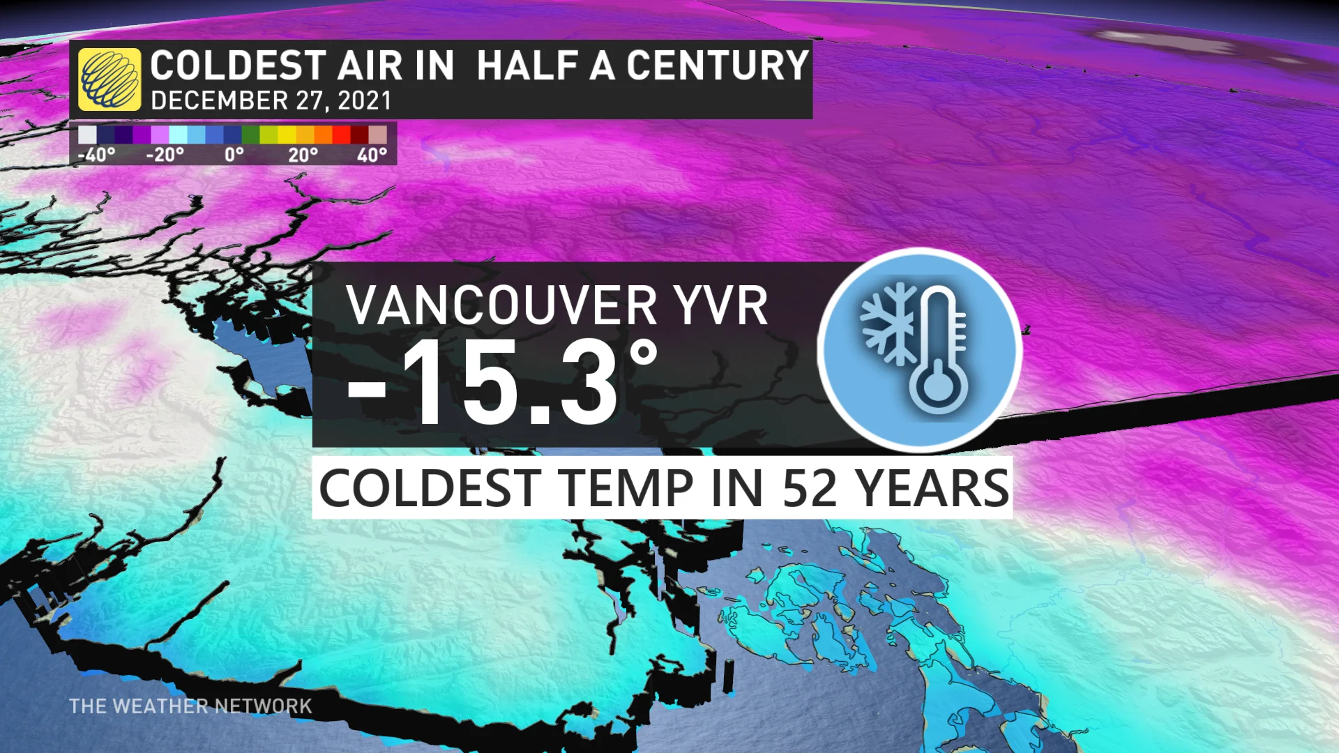
That would be uncomfortable enough for most parts of southern Canada, and it's a radical departure from seasonal normals, which normally languish around the freezing mark when it comes to daytime lows. In fact, it's the coldest temperature recorded at the site in 52 years.
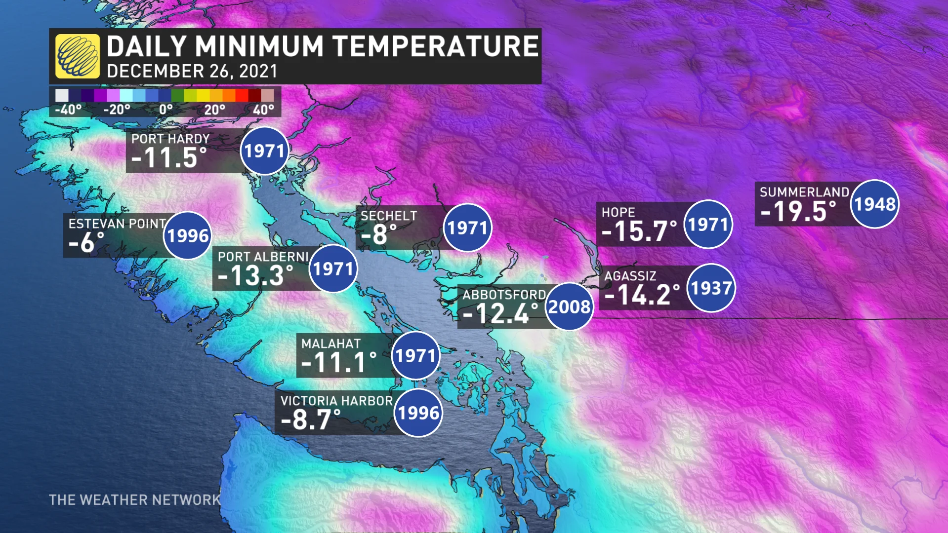
BoxingDay was also below-seasonal across the rest of southern B.C. (with some seeing their coldest daily minimum for December 26th since the 1930s), and December 27th is shaping up to be similarly frigid.
It's part of a major temperature anomaly covering much of western Canada to close out December, beneath a large area of high pressure. In B.C., Arctic outflow is funnelling bitterly cold air down into southern B.C., which is then prevented from escaping.
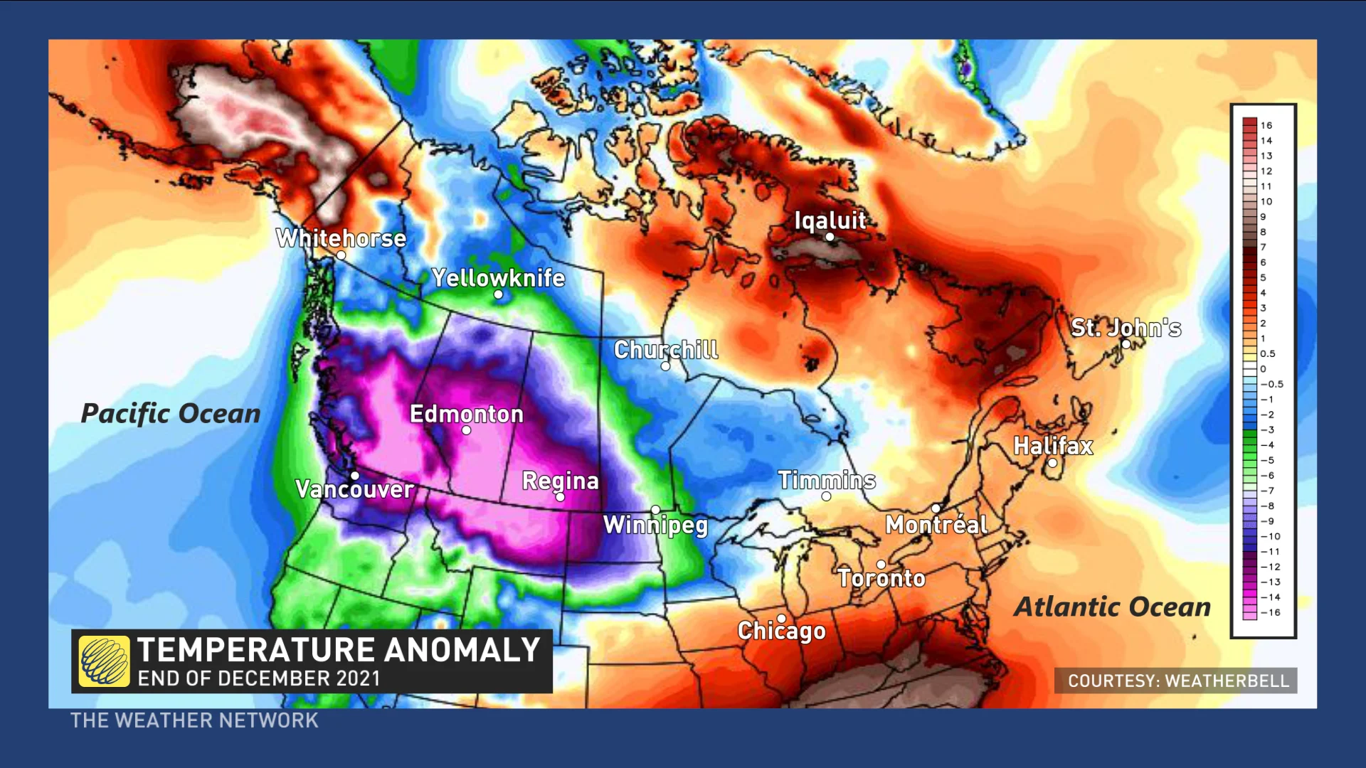
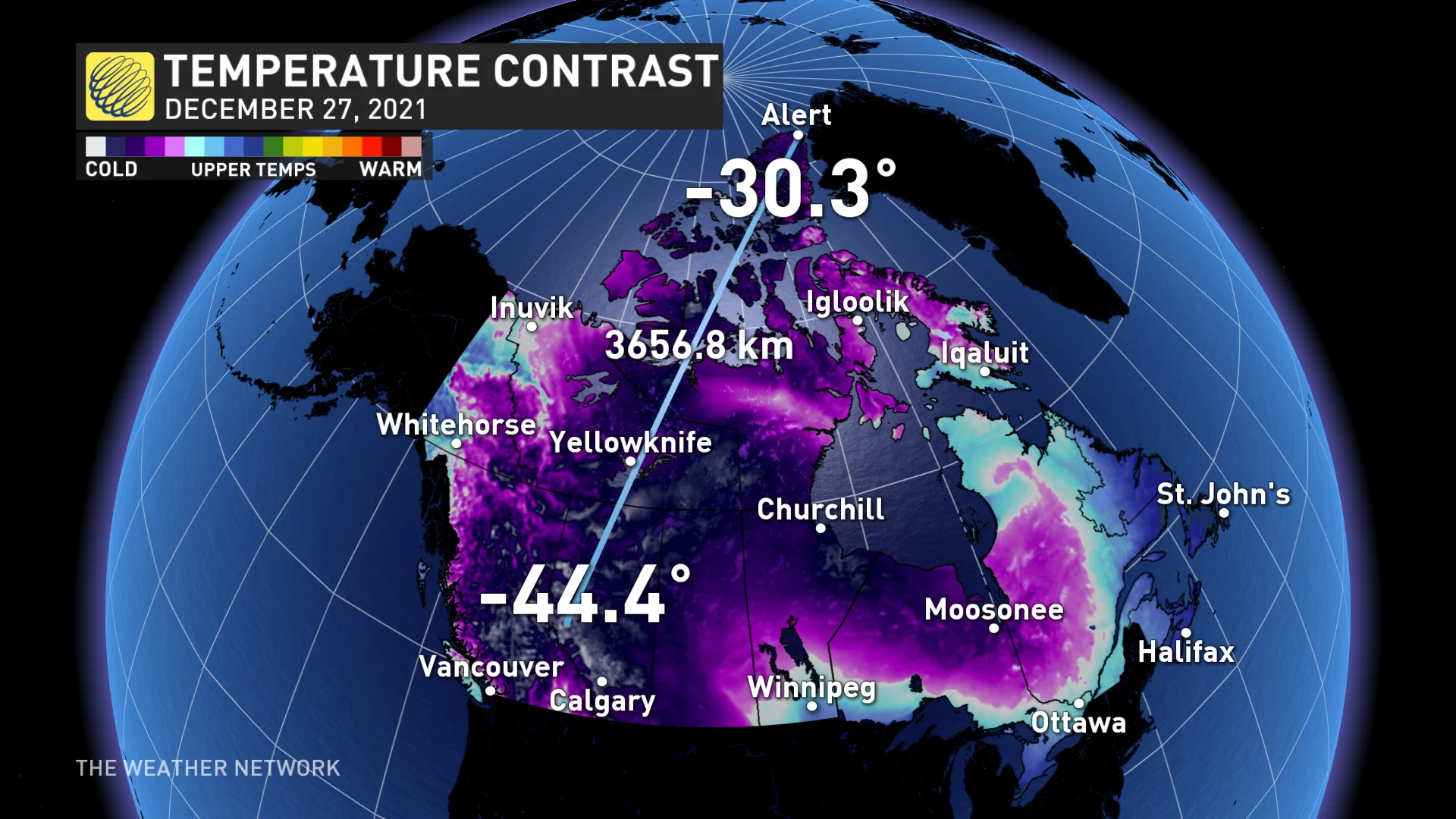
As bad as the cold is in the B.C. Interior, it's been considerably worse on the Prairies, where temperatures down into the negative 30s and 40s have been recorded so far. At one point on Monday, Grand Prairie, Alta., was almost 15 degrees colder than Alert on the northern shore of Ellesmere Island, despite the former being around 3,600 km south of the latter.
Extreme cold is forecasted to continue dominating sections of B.C and the majority of the Prairies until the start of 2022, where the western provinces will first see temperatures creeping up on the weekend ahead


