Ontario: The south gets a bump in temperatures, while snow impacts the north
Brief warmup to end the week, but temperatures in the south will drop to around seasonal by the weekend
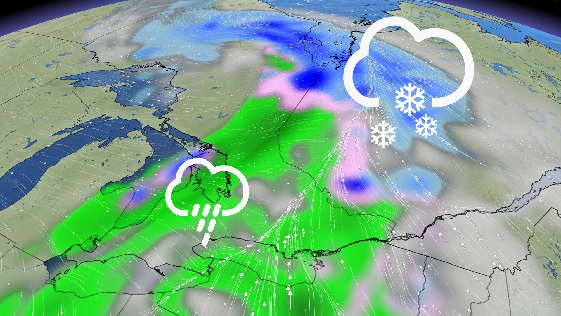
Temperatures will warm up in the south Thursday, with possible double digits in the southwest, but they will be accompanied by rain at night as a Alberta clipper moves through. The same system will bring widespread snow to northern Ontario, with upwards of 20 cm expected in parts of the Far North, through Friday. The warmup in southern Ontario will be brief, as the temperatures will fall back to around seasonal by the weekend. For more on the late-winter roller-coaster, plus a glimpse into the tricky pattern setting up for March Break, read below.
WEATHER HIGHLIGHTS:
Fair, mild conditions return to the south Thursday, more rain moves in at night
Widespread, heavy snow in parts of northern Ontario through Friday
Unsettled and active pattern for March Break
Keep on top of weather ALERTS in your area
HOW COLD IS TOO COLD FOR RECESS? WE FIND OUT:
THURSDAY NIGHT: UNSETTLED WEATHER RETURNS, ALONG WITH WARMER TEMPERATURES
While temperatures won't be nearly as pleasant as they were Sunday and Monday, Thursday will see daytime highs bounce back to near the double-digit mark, and even hit it in parts of the southwest.

Thursday will see fair conditions across the south, but increasing clouds during the day will preceed widespread rain that will move in Thursday night and continue into overnight, lingering through Friday morning.
Not much rain is expected in the GTA, but eastern Ontario and areas near Lake Superior could get 10-20 mm through Friday.
SPECIAL WEATHER STATEMENTS, WINTER STORM WATCHES FOR HEAVY SNOW IN THE NORTH
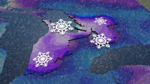
The same late-week system bringing rain in the south for late week will dump significant snow in the Far North, from parts of Lake Superior to James Bay, impacting travel along of the Trans-Canada Highway.
The snow will continue Thursday with between 15-20 cm possible in the hardest hit areas by the time it tapers on Friday morning.

The rain will clear the southwest and GTA by late Friday morning and eastern Ontario through the afternon. There could also be some light flurries for Dundalk Highlands, Sault Ste. Marie and parts of cottage country.
By Friday afternoon, the sun will once again shine across the south, but temperatures will drop at night. Although the much of the weekend looks to be calm and fair, temperatures will hover close to seasonal through Sunday.

MARCH BREAK: ACTIVE PATTERN SETS UP
Daytime highs look to rebound in time for the start of March Break early next week, but the Great Lakes region will also become the battleground between the warmer weather to the south and arctic air building to the north.
"This will result in a more active and unsettled pattern later in the week," warns Weather Network meteorologist Dr. Doug Gillham.
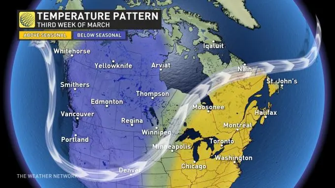
We can also expect the final days of March, and possibly into early April, will feature a cooler pattern in our region.


