Active Alerts Bellevue, LA
Drink plenty of fluids, stay in an air-conditioned room, stay out ofthe sun, and check up on relatives and neighbors.Take extra precautions when outside. Wear lightweight and loosefitting clothing. Try to limit strenuous activities to early morningor evening. Take action when you see symptoms of heat exhaustion andheat stroke.
* WHAT...Heat index values up to 109 degrees.* WHERE...Portions of south central and southwest Arkansas, northcentral and northwest Louisiana, and east and northeast Texas.* WHEN...Until 7 PM CDT this evening.* IMPACTS...Hot temperatures and high humidity may cause heatillnesses.* ADDITIONAL DETAILS...A complex of showers and thunderstorms willshift south through portions of East Texas, extreme SouthernArkansas, and North Louisiana this afternoon, which will result incooler conditions for the mid and late afternoon hours. This mayresult in portions if not all of the Heat Advisory area beingcancelled early.
For your protection move to an interior room on the lowest floor of abuilding.
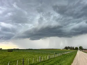
At 202 PM CDT, severe thunderstorms were located along a lineextending from 6 miles southeast of Ringgold to 7 miles east ofMansfield to 6 miles northeast of Center, moving southeast at 45 mph.HAZARD...60 mph wind gusts.SOURCE...Radar indicated.IMPACT...Expect damage to roofs, siding, and trees.Locations impacted include...Center, Mansfield, Coushatta, Logansport, Ringgold, Tenaha, Joaquin,Converse, Neuville, Shelbyville, Oak Grove, Pleasant Hill, Martin,Huxley, South Mansfield, Hall Summit, Saline, Lucky, Ashland, andCastor.