Atlantic: Intense winds accompany heavy rain, flooding risk with potent storm
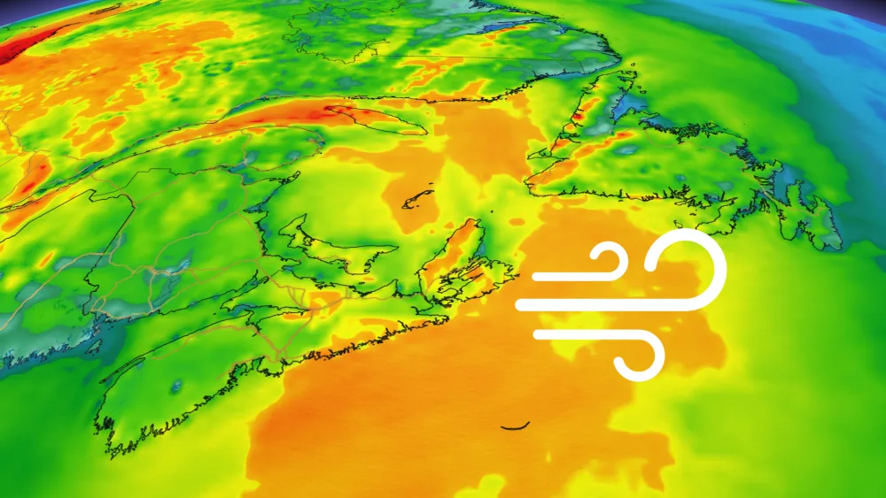
Rain has tapered across Atlantic Canada but blustery winds remain for some areas strong winds into early Tuesday, which may cause scattered power outages.
A rainy and gusty overnight will give way to continuing showers Tuesday, lasting through the morning in the Maritimes and into the afternoon for Newfoundland, though accompanied by milder temperatures. After a brief break, the next one moves in later Wednesday, with more of a chance for snow or a rain/snow mix. For a closer look, see below.
WEATHER HIGHLIGHTS
Showers continue into the morning for the Maritimes, afternoon for Newfoundland
Wind gusts will gradually be declining through the morning
Next system looks to move in late Wednesday
Keep track of weather ALERTS for your area
TUESDAY: WIDESPREAD RAIN, WINDS INTENSIFY, FLOOD RISK
The rain will continue into Tuesday, though down from its overnight peak, tapering off through the morning in the Maritimes and in Newfoundland in the afternoon.
Once it's all said and done, parts of New Brunswick and western Nova Scotia may have picked up 20-35 mm, and as much as 40 mm in southwestern Newfoundland.

Strong winds accompanied this system, resulting in thousands of outages in southern New Brunswick Tuesday morning, and a few hundred in Nova Scotia. They will be winding down through the morning.
A recent early spring snow coupled with Monday's rainfall will add to the risk for flooding along the St. John River in New Brunswick. Three areas are expected to crest this week at flood level – Saint-Hilaire, Fredericton and Gagetown. While they won't reach record flood stage and won't be as bad as in previous years, the situation will need to be closely monitored.
WATCH BELOW: A LOOK AT MONDAY NIGHT'S POUNDING DOWNPOURS AND LASHING WINDS
LOOK AHEAD: FAIR WEATHER RETURNS TO MARITIMES, SNOW FOR NEWFOUNDLAND
Once the system departs, fair weather will return to most of the region through mid-week. "A developing system will scrape by eastern sections of Nova Scotia on Wednesday, bringing the chance of some wet snow with localized snowfall accumulations through Wednesday evening for parts the province," says Weather Network meteorologist Tyler Hamilton.

"For Newfoundland, there's a higher probability of impactful weather, with a heavier swath of snow northwest of the Avalon, and a wintry mix possible for St. John's through early Thursday," Hamilton adds.
Beyond that, we're closely watching the track of a system this weekend that could be significant and messy, possibly bringing snow, ice, rain and strong winds to much of the region.
Stay tuned to The Weather Network for the latest forecast updates.


