Slippery roads could follow first snow of the season in southern Ontario
The final days of October will wipe clean any traces of the recent, record-breaking warmth in southern Ontario, with quite a chill settling in alongside the season's first snowfall as we scoot through Halloween and kick off November
It has begun, southern Ontario.
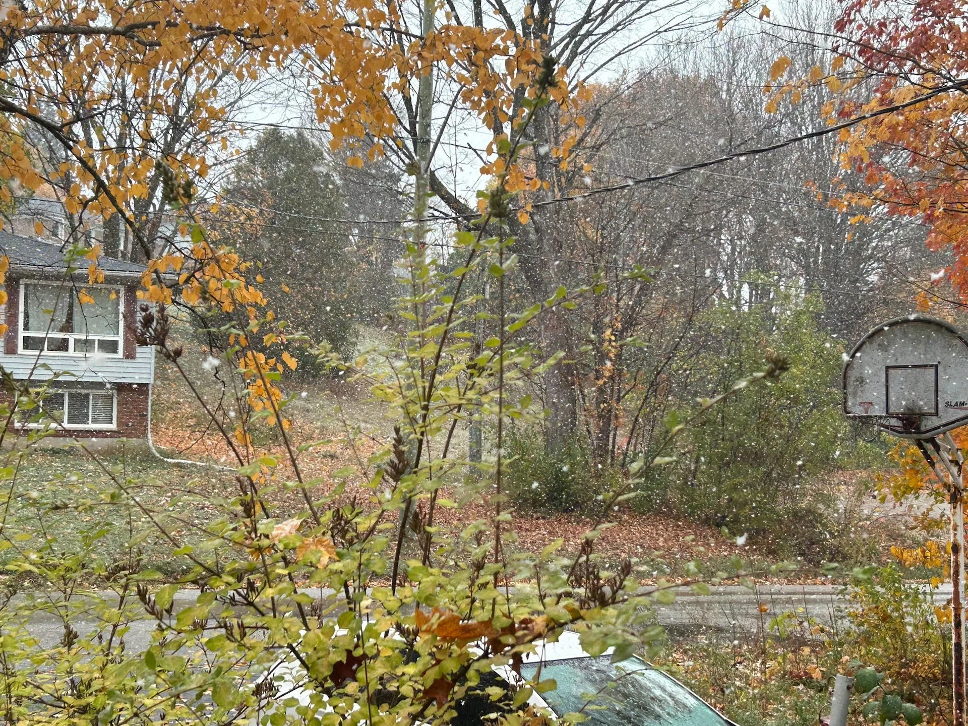
A steep temperature drop in Ontario is just the beginning of a pattern change that also led to the first snowflakes of the season falling in parts of the region Monday.
DON'T MISS: Why the first snowfall of the season can catch drivers by surprise
Flakes were reported from Owen Sound and Orillia to Stouffville, Ont., on Monday, but it’s just the beginning of the snowfall threat. Ottawa reported 2 cm on Monday.

If you don't have the jackets, toques and mitts, and even snow shovels for some, out by now, you will come Tuesday.
Monday overnight featured scattered snow squalls in the vicinity of Georgian Bay and off of Lake Huron. Through Tuesday morning, there’s a brief lull in activity before another pulse of snow-showers sets up in time for trick-or-treating.
It’s likely the squalls on Tuesday evening will be more potent than Monday's, and areas inland at higher elevation have the chance to accumulate more than 10 cm. This will create slippery roads for some areas and even a bit of a scare for some trick-or-treaters on Halloween night.

Shoreline communities will struggle to accumulate significant snow due to mixing and marginal temperatures, all thanks to the warmer waters.
Temperature-wise, the Halloween daytime highs forecast are well-below seasonal in the mid-single digits, but it isn’t the coldest. The year 1917 featured daytime highs below 2°C for both Hamilton and Toronto.

With the cold will be a risk of wet lake-effect snow setting up around the typical snowbelt regions through Wednesday.
Across the Greater Toronto Area (GTA), a spotty rain shower is more likely, though travelling north up Highway 400 and into Newmarket and Barrie, the change to snowflakes is possible.
A system is expected to track across the region on the weekend with a period of showers, and possibly some wet snow for northern areas, but the timing and track are still uncertain.
A couple shots of colder weather are expected for next week – especially late next week and into the weekend. Also, we're watching the potential for an active pattern, which would mean that parts of the region could see some wintry weather next week.
Check back for all the latest on conditions across Ontario.


