Hurricanes ahead? Experts expect La Niña to emerge by this fall
The latest predictions give a two-in-three chance of La Niña developing by the fall months
A La Niña watch remains in effect heading into the peak of hurricane season as forecasters expect better-than-even odds of the pattern developing by the fall months.
Water temperatures around the equator in the eastern Pacific Ocean can have a tremendous effect on weather patterns around the world. One such change is an above-normal hurricane season in the Atlantic Ocean.
Given continued trends in the Pacific, forecasters this week reiterated their call for a very active hurricane season in the weeks and months ahead.
DON’T MISS: What happens when El Niño and La Niña disappear?
La Niña set to develop soon
Sea surface temperatures in the eastern Pacific Ocean are currently hovering around or just below normal, which forecasters consider “ENSO-Neutral.”
This neutral pattern is soon expected to tip toward a full-blown La Niña. NOAA’s Climate Prediction Center says there’s a 66 percent chance that La Niña will develop by this fall, which could influence this year’s Atlantic hurricane season.
Check out The Weather Network’s hub page for all the latest on El Niño, La Niña, and what it means for your seasons ahead!
La Niña occurs when sea surface temperatures in the eastern Pacific run at least 0.5°C colder than normal for about seven consecutive months. This noticeable change has significant ripple effects throughout the atmosphere, affecting weather patterns from Australia to Canada.

Cold water in the Pacific can reduce the amount of wind shear that blows east into the Atlantic, which affords more opportunities for tropical disturbances to take root and grow into formidable storms.
Updated seasonal forecasts from both NOAA and Colorado State University continue calling for an exceptionally active Atlantic hurricane season this year, with enough named tropical storms that we could exhaust the official list of names for only the third time on record.

“The Atlantic ocean basin is expected to be remarkably active due to several factors,” NOAA noted in its updated forecast released on August 8. These factors include near-record sea surface temperatures, reduced wind shear due in part to this developing La Niña, and an enhanced monsoon over western Africa which can seed the development of tropical systems.
We’ve already seen four named storms so far this year. Hurricane Beryl in early July rapidly intensified into the earliest scale-topping Category 5 ever observed in the Atlantic basin. The ocean’s most recent named storm was Debby, which struck Florida as a Category 1 hurricane and brought flooding rains to portions of Eastern Canada.
Hurricane season began on June 1 and runs through November 30. The climatological peak of the season arrives during the second week of September.
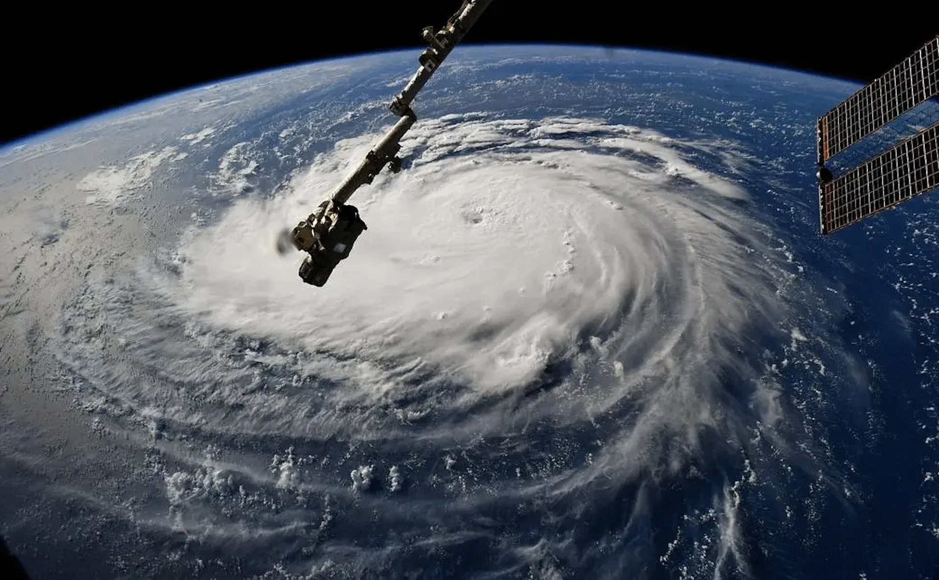
Header image courtesy of NASA/International Space Station.
Stay with The Weather Network for all the latest on La Niña and the hurricane season ahead.


