Snow improves white Christmas odds in Ontario, but impacts holiday travel
What does Monday's snowfall mean for Christmas morning in southern Ontario? Well, it should be enough to make for a white Christmas for the vast majority in the region
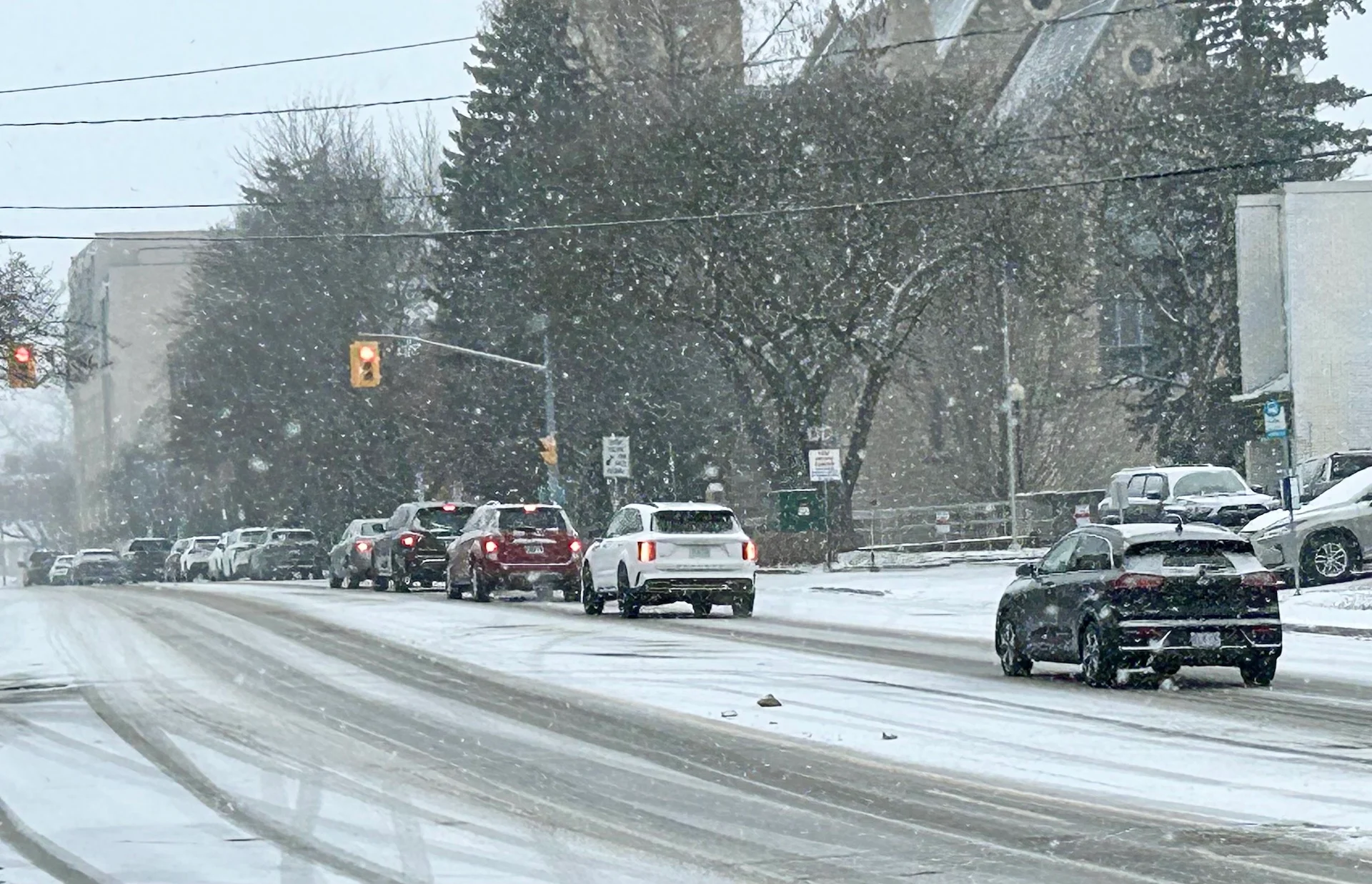
Those in southern Ontario that are hoping for a white Christmas miracle may get their wish after a clipper blanketed the region with a decent dose of snowfall.
While the snow may be good news for folks wanting to look outside on Christmas morning to see a white-covered ground, it won't be positive for holiday travellers still on the move to get to their destinations before Dec. 25. Roads are still likely to be slippery for many on Tuesday morning, so plan ahead and brace for slower commutes.
DON'T MISS: Canada’s come-and-go winter will regroup and return for January
While snow hasn’t been in short supply around the traditional snowbelts, folks around much of the Greater Toronto Area (GTA) and southwestern Ontario have had little snow so far this season.
What does this mean for Christmas morning? Remember that an ‘official’ white Christmas occurs when forecasters measure 2 cm of snow on the ground at 7 a.m. on Christmas Day.
Snow winds down Tuesday morning
We’re monitoring the progress of an Alberta clipper that is sliding across the Great Lakes from the Prairies. Snowfall will continue to intensify into the evening and persisting through the overnight. Parts of eastern Ontario can expect to see snow still falling on Tuesday morning.
Parts of the province could see up to 20 cm of snowfall by Tuesday morning.

Snowfall warnings have been issued from Barrie to Parry Sound, and extending up to Cornwall.
SEE ALSO: What exactly makes for a 'white Christmas'?
Most areas, including the north and eastern sections of the Greater Toronto Area, can expect 5-10 cm of snow from this system, with totals reaching up to 20 cm across parts of eastern Ontario and along the snow belts. Look out for moderate travel impacts through Monday overnight and into Tuesday morning, with slick roads a good bet.

Rain-snow mix is possible along the Lake Erie shores, in the southwest and in parts of the Niagara Peninsula, lowering snowfall totals there.
Toronto will have the chance to get and hold on to a 5-cm dumping along the lake shore, as long as the rain-snow mix does not creep in.
What does this mean for Christmas morning? Remember that an ‘official’ white Christmas occurs when forecasters measure 2 cm of snow on the ground at 7 a.m. on Christmas Day.

Minimal sunshine on Christmas Eve, along with temperatures holding shy of the freezing mark, will likely help to maintain that snowpack from the GTA northward heading into the big day on Wednesday. Keep your fingers crossed, kids.
Post-Christmas, it looks like the freezing cold that has settled over southern Ontario will finally lift, making room for warmer temperatures to end 2024 and kick off the new year.
However, winter is not over! A colder and an active pattern is expected to develop during the first week of January and dominate for two or three weeks.
WATCH: 'Safe today and not safe tomorrow': What you need to know about ice
Stay with The Weather Network for more forecast information and updates on your weather across Ontario.