Tornado warnings dropped in Saskatchewan and northwestern Ontario

Tornado warnings were issued in parts of Saskatchewan and northwestern Ontario on Tuesday afternoon and evening.
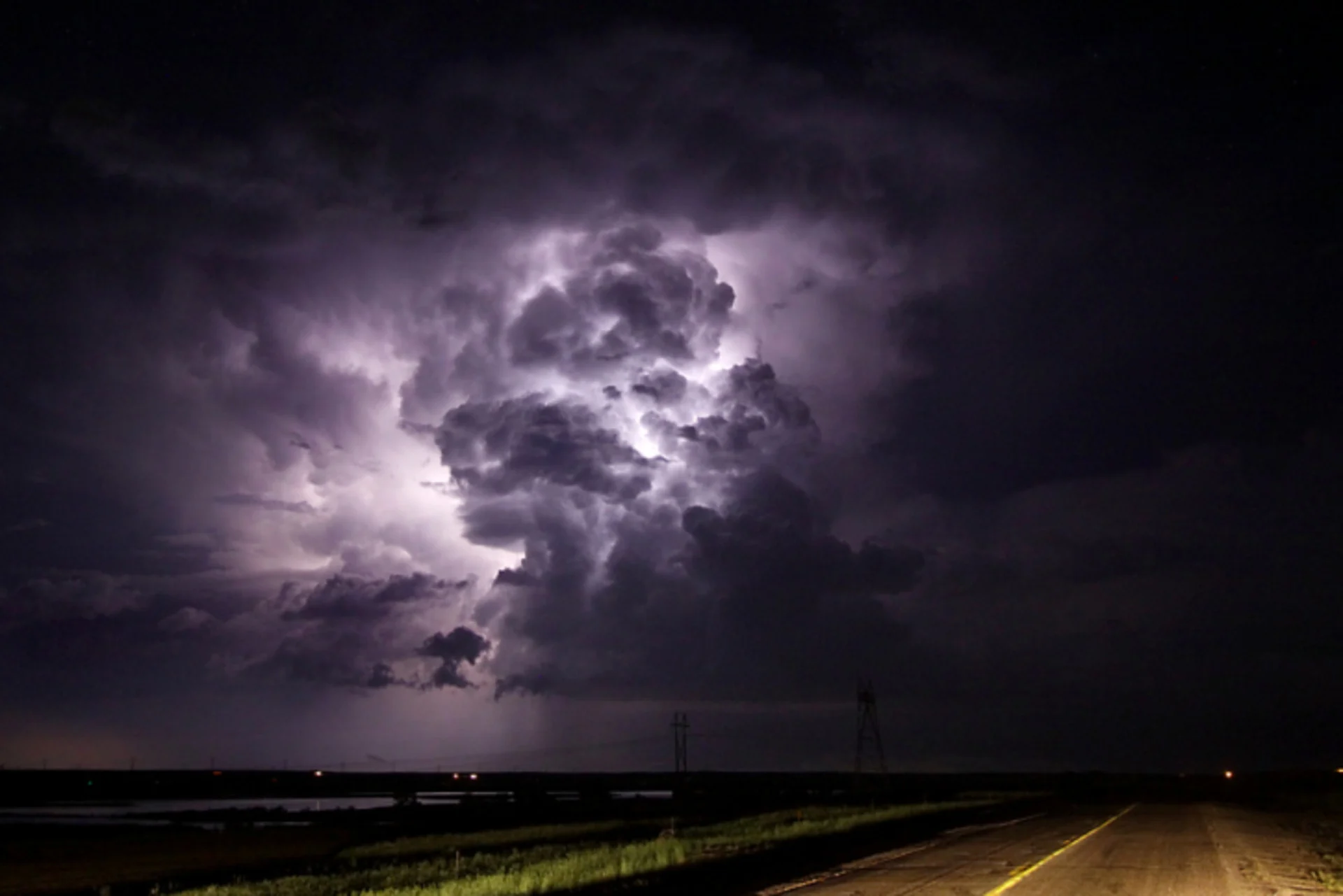
Tornado warnings were issued in northwestern Ontario and southern Saskatchewan Tuesday evening as severe thunderstorms capable of producing tornadoes were detected on radar, according to Environment and Climate Change Canada (ECCC). However, they have all been dropped since then.
The tail end of Monday's storms in Manitoba has developed another line of severe storms in northwestern Ontario on Tuesday, prompting tornado warnings. Another line in Saskatchewan developed, resulting in tornado warnings being issued briefly.

Lake of the Woods and Dryden in northwestern Ontario will be at the southern end of the risk, thanks to storms remaining well north of Thunder Bay and the majority of Highway 17.
Aside from the tornado warning and severe storms, there is a rainfall warning in place for Ear Falls - Perrault Falls - Western Lac Seul. Totals of 50-80 mm are expected with the slow-moving storms in the Kenora and Red Lake region.
The same area will see storm potential again on Wednesday and Thursday as the developing Prairie system nears.
Stay tuned to The Weather Network for the latest forecast updates on northwestern Ontario.