Lucky London, Ont., has evaded a major snowfall so far, but for how long?
London, Ont., has been quite fortunate thus far in avoiding a major snowfall event in the season, given its prime location, but for how long will that be the case? We look to the past while taking a peek at a future pattern that may offer clues on when it may occur
London, Ont., is perfectly located in one of the most heavily populated snowbelt corridors in the province's southwest corner, making it vulnerable to significant snowfall events throughout the fall and winter.
However, aside from a few centimetres racked up during some localized, lake-effect setups, including on Halloween, the city hasn't been hit with a single, hefty-accumulating event this fall.
DON'T MISS: Clock ticking towards Greater Toronto and Hamilton Area's first major snowfall
Will London's luck finally run out? Well, right off the bat, we can rule this week out. Temperatures will be on the mild side for a good portion of it. Let's just get that out of the way. You can partly thank B.C.'s impactful fall storm for that and the placement of the polar and Pacific jet streams, with a likely El Niño connection.
Typically, the snowbelt regions will see a wallop before the Greater Toronto and Hamilton Area (GTHA) because of the lake-effect. And, November is notorious for producing major, memorable snowfalls in many areas in southern Ontario, including in the snowbelt regions. Just take a look at November 2022 when Wiarton, Ont., was hammered by several days of snowfall, resulting in 124.6 cm of accumulation from Nov. 17-20.
That timeframe is just around the corner, too.

November has offered up a few snowy events for London, including an Ontario storm on Remembrance Day in 2019, which brought 8.1 cm of accumulation. Nothing extraordinary, but certainly enough to hinder local travel.
A system in November 2019 led to 18 cm of snow on the ground in London on the 8th.
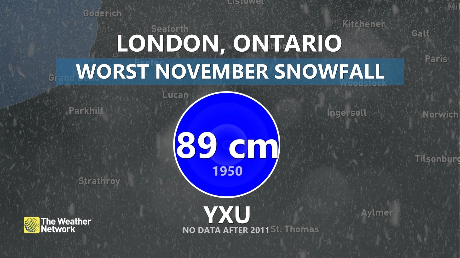
In terms of its snowiest November, that honour goes to the year 1950 ––London saw a whopping 89 cm fall during the month. When it comes to average November snowfall, the southwestern Ontario city's airport typically sees 17 cm in the month.

SEE ALSO: Snowvember? When Canada saw notable wintry weather ahead of schedule
Any chance of a major snow in the long-range?
Because of the short-range, unpredictability of snow squall events, we can't look too far ahead to make a guess for the first major snowfall for a snowbelt region community such as London. We can, however, take a deeper look at the upcoming pattern for any signs of impactful systems.
North America will experience an influx of Pacific air over the next week, but there are indications that temperatures will return to seasonal norms later in the month.

However, while it's not a significant threat, there will be a chance of a lake-effect snow setup this weekend. It will be localized and most places will miss snowfall.
Next week, however, holds more promise for a system (Wednesday, Nov. 22 into Thursday, Nov. 23) that will wrap in much cooler air. So, failing any system snow, there is confidence of lake-effect precipitation on the backside.
As we approach the end of November, one significant factor to keep an eye on is the Siberian air that may be redirected into Western Canada. Initially, this air will hover over the West, but it will attempt to shift eastwards. While this may not appear significant, falling temperatures could result in some locations in Ontario struggling to reach highs above the freezing point.

On top of that, the colder air mass may be all we need to reignite the lake-effect snowfall.
Although the storm track may be too far north to produce snow across southwestern Ontario, initially, there is still a chance of winter weather towards the end of the month.
To be on the safe side, keep your winter clothing and snow-clearing equipment close by.
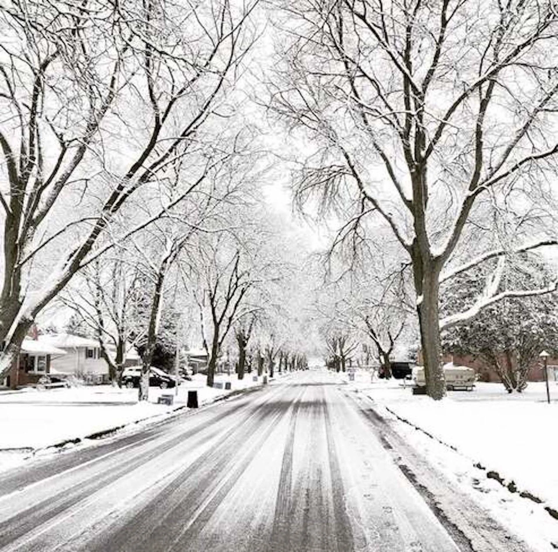
Thumbnail courtesy of Dean Marshall/Submitted.
Contains files from Tyler Hamilton, a meteorologist at The Weather Network.


