Risk of outages, localized flooding with weekend weather bomb in Atlantic Canada
Heavy rain and strong winds could result in power outages, localized flooding and dangerous road conditions across parts of Atlantic Canada this weekend
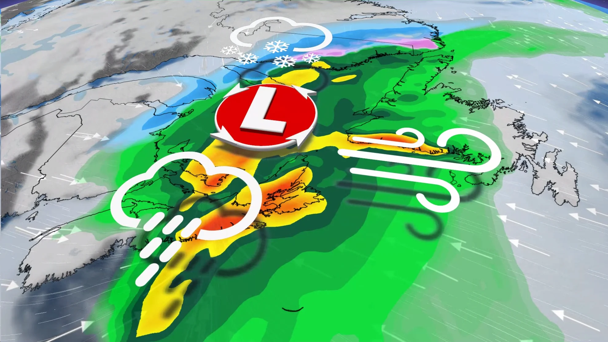
High winds, potential power outages and heavy rain and snow. This weekend in Atlantic Canada will be a far cry from the calm pattern as of late, though much more typical of November, as a potent storm barrels through.
The weather bomb, a term given to low-pressure systems that rapidly strengthen, will take aim at the Maritimes starting Saturday, with wind-driven rain arriving in Newfoundland early on Sunday.

Residents are being urged to plan ahead, and brace for deteriorating travel conditions as well as scattered outages and the potential for localized flooding. Up to 100 mm of rain may fall, with wind gusts surpassing 100 km/h at times.
Conditions go downhill in a hurry by Saturday
A centre of low pressure will gather steam as it tracks off the U.S. East Coast through Friday. We'll see the storm move into the Maritimes through the second half of Saturday, pushing toward Labrador during the day on Sunday.
Upper-level winds on Friday will become favourable for this system to rapidly intensify into a weather bomb as it approaches the Maritimes.
Weather bombs are low-pressure systems that undergo bombogenesis, which occurs when a low’s minimum central pressure deepens by at least 24 millibars in 24 hours. This level of strengthening is noteworthy because it can increase the winds and precipitation rates expected for communities along the storm’s track.
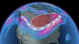
MUST SEE: Brace for chill: Arctic air oozing into Canada for next week
Weekend outdoor plans postponed
This system will draw in ample moisture from the south as it gathers strength and pushes into the Maritimes, making for a washout of a day on Saturday that’ll likely force any outdoor plans to be postponed or moved indoors.

Due to the high winds and heavy rain heading for Halifax, this year's Holiday Parade of Lights has been postponed until Saturday, November 25, according to the event’s official webpage.
Rain will arrive in the Maritimes on Saturday afternoon, with conditions rapidly deteriorating by the evening.
Widespread rainfall totals of 50+ mm are likely throughout coastal sections of the Maritimes and Newfoundland, while that extra dose of subtropical moisture streaming in from the south could boost rainfall totals to 50-100 mm across portions of Nova Scotia, including the Halifax region.

DON'T MISS: ‘Weather bombs’ are explosive storms that create ferocious conditions
Lighter totals are possible in eastern New Brunswick and western Prince Edward Island, where 30-60 mm of rain is on tap. Folks across the Avalon Peninsula may see 20-40 mm of rain by the end of the weekend.
Farther west, a dose of cold air moving in behind the storm will allow precipitation to fall as snow across northern and western New Brunswick, as well as the Gaspe Peninsula and much of Labrador.

Heavy snow is possible at times, resulting in accumulations of 5-10 cm for much of northern New Brunswick. Higher elevations could see 10-20 cm of snow. A thicker blanket of snowfall is expected in Labrador, where some areas will easily pick up more than 30 cm of snow this weekend.
WATCH: Flexible plans required as high winds hit Halifax this weekend
Heavy rain on a busy weekend is rough enough, but it’ll be accompanied by fierce wind gusts that could knock down trees and power lines throughout portions of Atlantic Canada.

This storm’s rapid intensification will allow the strongest winds to buffet Nova Scotia through the second half of the day Saturday, where gusts of 100+ km/h could lead to power outages, rough surf, and coastal flooding.
Winds will calm in the Maritimes early Sunday morning as our storm pulls north out of the region.

Equally forceful winds will rapidly pick up across Newfoundland during the day Sunday. Just about the entire island, including the Avalon Peninsula, will see several hours where gusts of 100+ km/h are possible.
As with Nova Scotia, gusty winds will bring the risk for power outages, coastal flooding, and rough surf.

The system will not linger, thankfully, and conditions should improve in a hurry across Newfoundland heading toward Sunday night.
Looking ahead, blustery and much colder weather will spread over the Atlantic provinces to start the week. Forecasters are watching the potential for another system to approach the region for the second half of next week. Below-seasonal temperatures are expected to stick around for the final week of November.
Stay tuned to The Weather Network for the latest forecast updates in Atlantic Canada.