Raised threat for severe weather in Ontario, Quebec includes tornado risk
Heads-up if you're going to be spending time outdoors on Wednesday in southern Ontario and Quebec, as there will be a potential for some folks to get a dose of severe weather.
Wednesday will be a day to stay weather-aware in southern and eastern Ontario, and southern Quebec, too, as there will be an increased potential for severe thunderstorms for numerous regions.
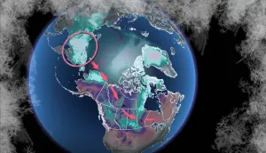
Eastern Ontario, in particular, will be the focus of the severe weather threat, which includes a tornado risk as conditions in the region will be conducive to rotating storms developing in the afternoon.
SEE ALSO: Could the cost of Toronto's recent, major flood match the 2013 event?
Elsewhere, heavy rainfall and strong winds will be the main hazards in locales at risk of seeing severe storms form. Also to be aware of is the localized flooding threat in areas that see heavy rain fall on saturated soils.
Be sure to regularly check for watches and warnings in Ontario and Quebec when severe weather is looking your way.
Severe thunderstorm risk moves in Wednesday, tornado chance in eastern Ontario
Wednesday will be the main event for thunderstorm activity this week.
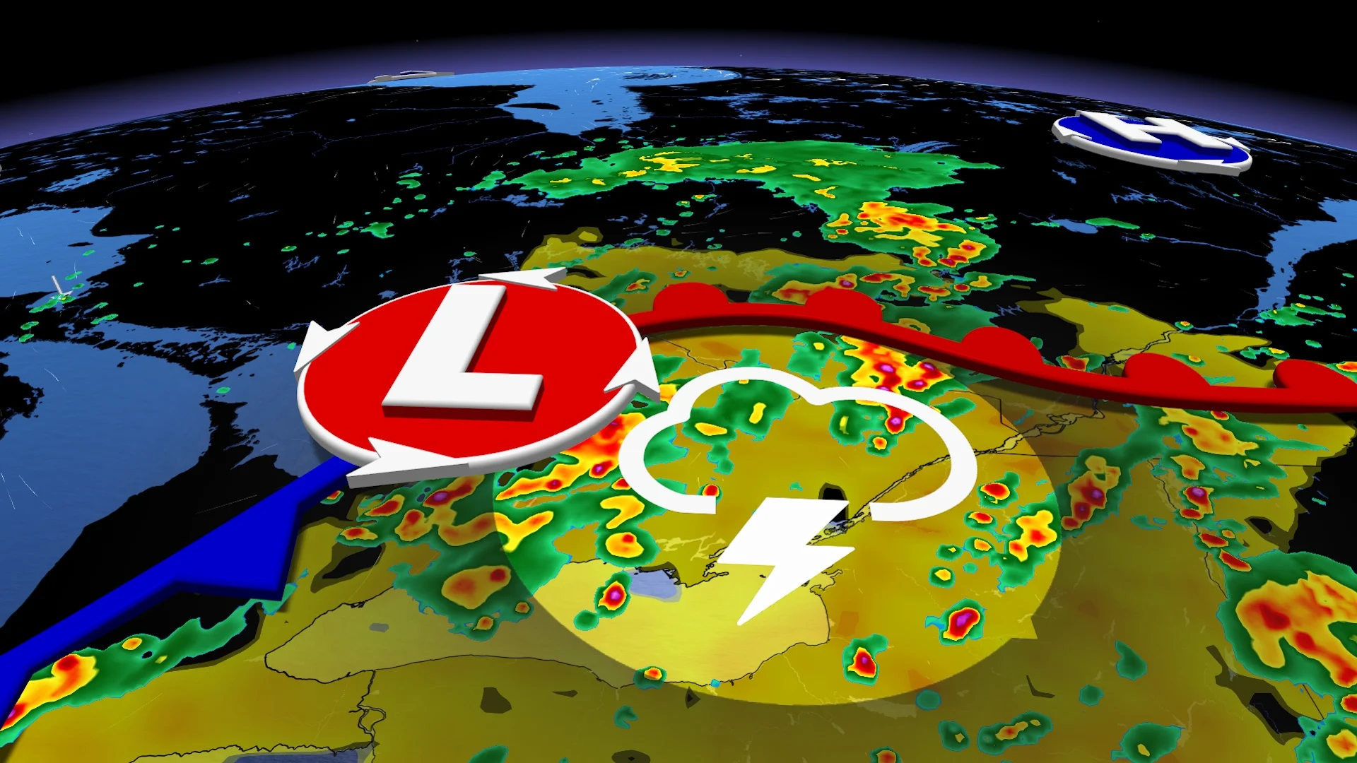
Higher atmospheric moisture ahead of an approaching low-pressure system will bring all the right ingredients together for severe storms to develop across southern Ontario and Quebec.

Morning convection is possible around Georgian Bay and Lake Huron, and these storms are forecast to continue to progress eastward throughout the early afternoon.
Increased storm energy and atmospheric instability will lead to stronger storms developing as Wednesday afternoon progresses, with the chance for some severe storms to have rotation. These storms are expected to develop through the afternoon and evening hours.
DON'T MISS: Move over Prairies; Ontario is now Canada’s tornado 'hot spot'
Best chance for a storm through the Greater Toronto Area is between 1 p.m. and 4 p.m., with a larger severe window across eastern from early afternoon into the early evening hours.

While the main threats from from Wednesday's storms will be heavy rain and strong winds, leading to a localized flooding risk in areas dealing with saturated soils, forecasters are looking at the presence of wind shear through Ontario's cottage country and around the Ottawa Valley, existing on the Quebec side, as well.
With wind shear in play, there is a non-zero chance that any rotating storms could have tornadic potential. One or two tornadoes are possible across eastern Ontario, especially in the severe-likely region on our risk map preceding this paragraph.

For Montreal, Que., the greatest storm risk develops into the early evening hours, before dissipating late Wednesday. There’s a lower tornadic threat, so flooding and damaging winds are the primary threats for Montreal.
This is something that The Weather Network forecasters will be keeping a close eye on in the meantime.
Strong winds will be associated with thunderstorms, but regions that see a couple rounds of storms may end up seeing as much as 75 mm of rainfall.
Farther southwest, severe storms are still possible, but less favourable dynamics exist to produce high-end severe storms.
Stay with The Weather Network for more forecast information and updates on your weather in Ontario and Quebec.