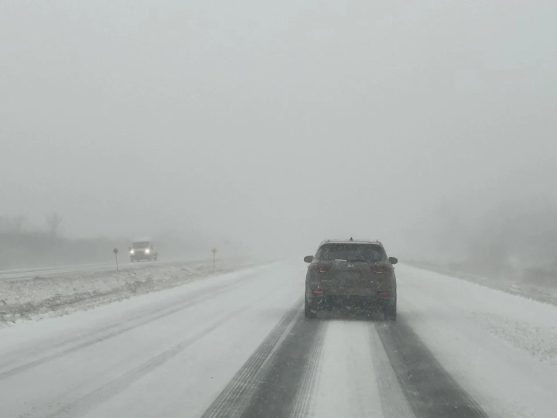
Snow continues to challenge drivers in Manitoba, potent squalls this weekend
First snowfall of the season blasts through Manitoba to end this week, with eyes on some hefty lake-effect snow this weekend
Snowfall warnings remained in effect for portions of southern Manitoba Friday morning, with some areas in line to see as much as 20 cm of snow by the time precipitation finally comes to an end.
PHOTOS: Dangerous driving as Alberta's first major snowfall of the season hits
The first round of this autumn snowfall swept through the province earlier this week, bringing 10 cm of snow to Brandon and a modest blanket of 4 cm over in Winnipeg. The next system moved in from North Dakota on Thursday night, spreading heavier totals through southern sections during the overnight hours.
Some additional snow will continue on Friday, with eyes on a weekend lake-effect set-up, which could dump a hefty 40+ cm of snow, locally.
Tricky travel for Friday as snow continues
The latest round of snow pushed into communities near the border by Thursday evening, with it becoming heavier through the overnight and early morning hours. An additional few centimetres are expected to fall, with the highest amounts near the American and Ontario border on Friday.
PLAN AHEAD: Warm or wintry? Halloween weekend holds a mixed bag for Canada
All told, storm total snowfall accumulations could reach 20 cm in pockets of southeastern Manitoba, with totals gradually decreasing northwest toward Winnipeg. Between 5-12 cm has been reported in different sections of the city.

"Be prepared to adjust your driving with changing road conditions," says Environment and Climate Change Canada (ECCC) in the snowfall warning.
Watching a potent set-up for weekend snow squalls
As the system moves out of Manitoba on Friday, northwesterly winds will develop along with much colder temperatures. This will set the scene for lake-effect snow squalls to fire up off of the Manitoba lakes, including Lake Winnipeg, Lake Winnipegosis and Lake Manitoba.
This will bring heavy snow to the southeastern and eastern shores of the lakes through the weekend.

The heaviest snowfall is expected off of Lake Winnipeg as the fetch, which is distance across the lake to gather moisture, is the largest.
Some squalls could produce as much as 20-40+ cm of snow by the end of the weekend, but amounts that high will be quite local.

A weak system will bring more widespread snow, though much lighter, to southern Manitoba on Monday.
Keep checking back to The Weather Network for more forecast information and updates on your weather in Manitoba.


