Stifling temperatures heighten storm risk, fire danger across B.C.
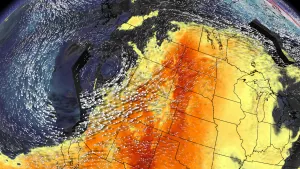
The surge of heat over southern British Columbia will raise the fire danger in the coming days. We’ll also see a risk for thunderstorms bubbling up over parts of the province again on Tuesday.
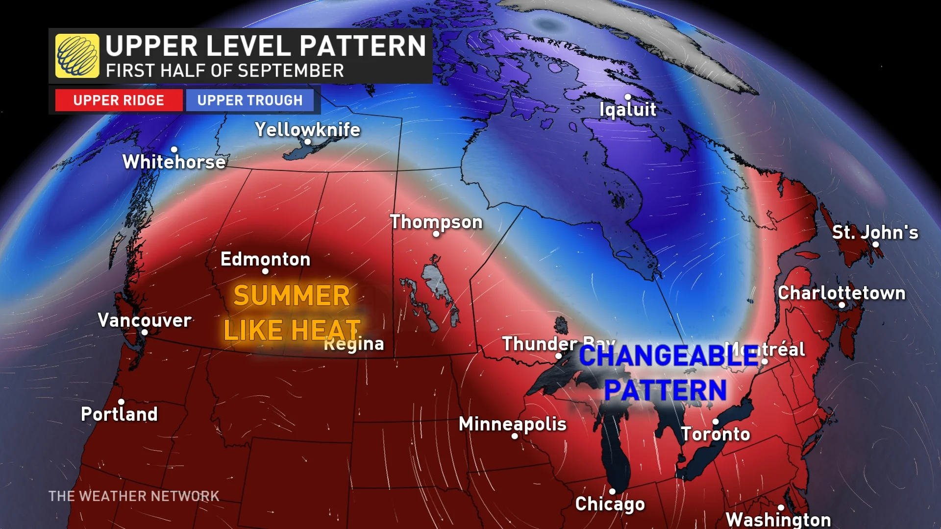
It’s no surprise that September is kicking off well above seasonal with such a strong ridge parked over the western half of the country.
Only folks along the B.C. coast will see a brief reprieve from the hot temperatures, but even that won’t last long if you glance at our September outlook.
DON’T MISS: September Outlook: Summer isn’t done with Canada just yet
However, the heat will threaten to raise the fire danger to high across the southern tier of B.C. and will lead to an elevated risk of thunderstorms once again on Tuesday.
Seasonal temperatures vary in early September across B.C., with average highs generally near 20°C along the immediate coastline with normal highs coming in around 25°C throughout the southern Interior.
Tuesday: A building chance for lightning
We’ll see a widespread risk for thunderstorms develop across southern and eastern portions of B.C. as an upper-level trough tries to make its way inland.
Any thunderstorms that develop will be capable of producing heavy rainfall and small hail, alongside frequent lightning. Flash flooding is possible because of the steep terrain and burn scars which limit the absorption of rainfall.
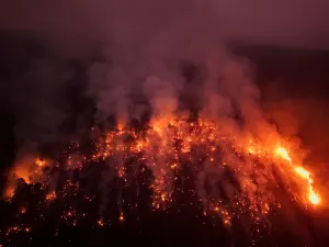
The risk for thunderstorms is unwelcome news as the fire danger rating rises with the latest bout of heat.
RELATED: Jasper wildfire caused $880M in insured losses: Insurance Bureau of Canada

We’ve seen more than 1,500 fires across B.C. this season, collectively responsible for burning more than one million hectares of land. Nearly three-quarters of those fires were started by lightning. There were 30 out-of-control fires burning in the province as of September 1.
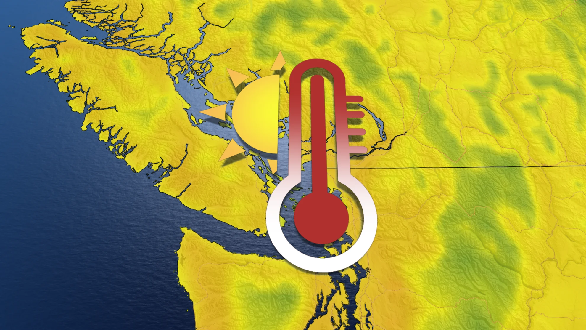
Looking ahead: hot weather returns to the coast
Hot weather will push back into the South Coast by the middle of the week, with temperatures again exceeding 30°C throughout the southern Interior.

Southerly flow will help bring some humidity into the Lower Mainland and especially inland toward the Fraser Valley. The feels-like value in Abbotsford could easily climb into the upper 30s by Thursday.

This is noteworthy heat this late in the season.
The first 10 days of September may remain at or above 30°C for communities like Osoyoos and Kamloops, reminiscent of the pattern we saw across the region back in September 2022.

Stay with The Weather Network for the latest on conditions across B.C.