Difficult travel expected in Quebec as winter storm will pack a wallop

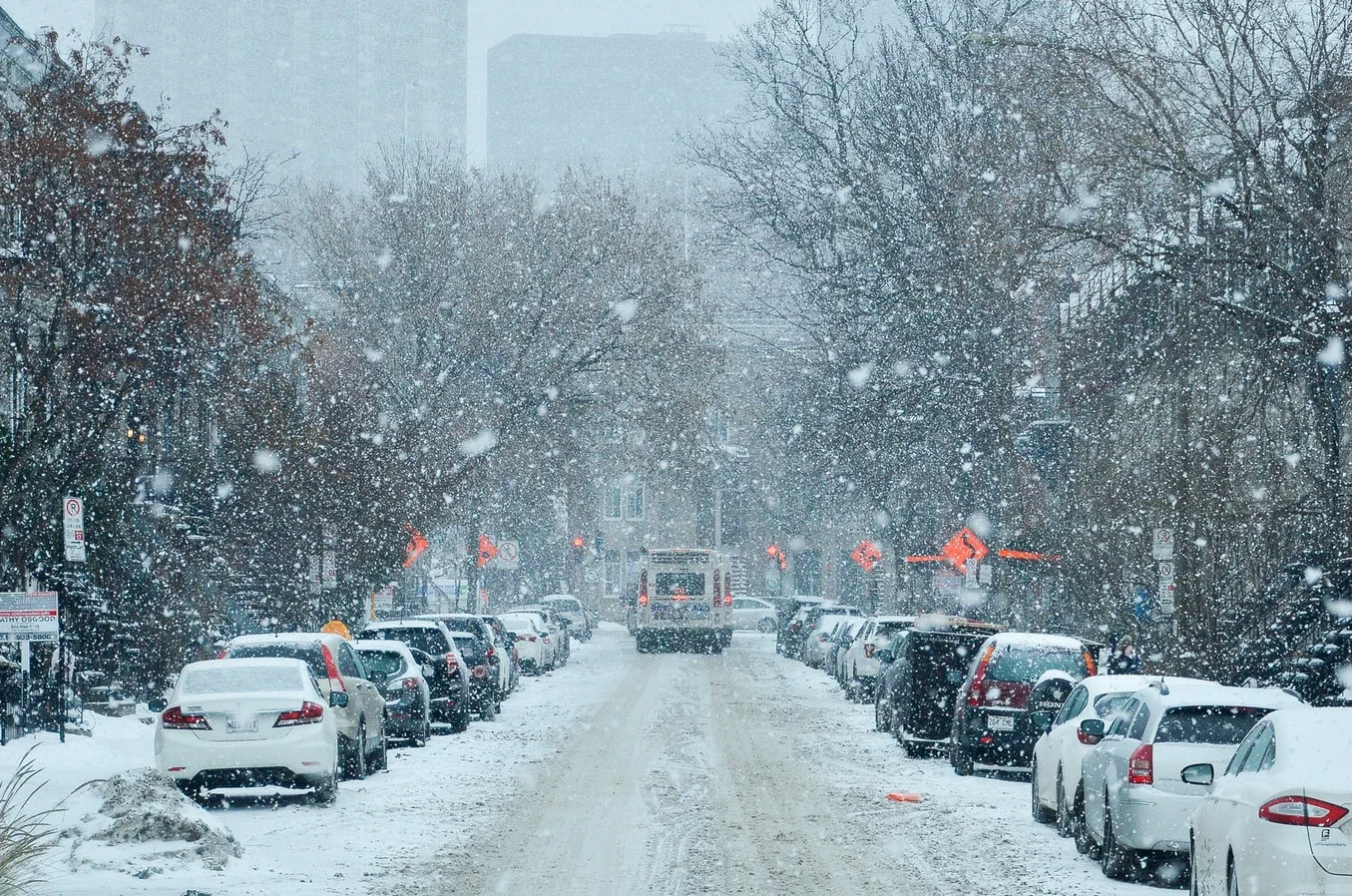
A powerful winter storm is expected to bring a hefty dose of snowfall to southern and eastern Quebec Tuesday, with amounts ranging from 10-40 cm expected.
The storm that is battering the U.S. East Coast will impact Atlantic Canada and Quebec on Tuesday, giving southern and central areas of the latter a hefty dose of snowfall -- some areas much more than others. Montreal could see about 10 cm of snow, areas south of the St. Lawrence River may get 10-20 cm and communities well east of Quebec City may see accumulations of 20-40 cm by the time the storm departs. Blustery winds will result in blowing snow, and will likely generate hazardous conditions on the roads. Beyond the storm, temperatures will climb steadily as the week progresses, even hitting above seasonal values by Friday. More details on the incoming storm below.
WEATHER HIGHLIGHTS
Storm to push snow into southern Quebec, eastern Ontario Tuesday morning
Strong winds will create blowing snow, difficult travel likely
About 10 cm for Montreal, 10-20 cm of snow for areas south of the St. Lawrence, 20-40 cm in far eastern Quebec
TUESDAY: RAPIDLY ACCUMULATING SNOW, STRONG WINDS THREATEN TRAVEL
The snow will reach southern Quebec Tuesday morning and continue through Wednesday morning. Conditions will deteriorate throughout the day in Quebec, with heavy snow and strong winds reaching several areas in eastern sections of the province in the afternoon and evening.
The snow combined with gusty winds will create local blowing snow, likely leading to treacherous travel conditions. Wind gusts along the St. Lawrence are expected to roar between 80-100 km/h late Tuesday evening.
Snowfall and winter storm warnings are in effect, as well as special weather statements.

"Rapidly accumulating snow could make travel difficult over some locations. Prepare for quickly changing and deteriorating travel conditions. Visibility will be suddenly reduced to near zero at times in heavy snow and blowing snow," says Environment Canada in the winter storm warning for the Eastern Townships.
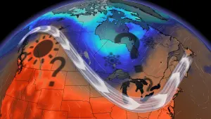
MUST SEE: Winter will attempt to make up for lost time during February across Canada
Snowfall amounts of about 10 cm are expected for Montreal and 10-20 cm for areas south of St. Lawrence River. Meanwhile, accumulations of 20-40 cm are expected locally in areas well to the east of Quebec City, with higher amounts possible in the overnight hours Tuesday.
Considerably lower amounts are expected across eastern Ontario, as the region will just be on the western fringe of the storm. Snow will begin Tuesday morning and intensify during the afternoon hours. Accumulations of 5-10 cm are expected from Kingston to Ottawa. Winter weather travel advisories are in place, as the snow will be enough to create poor conditions on the roads.
Conditions will begin to improve on Wednesday with just scattered persisting in extreme eastern Ontario in the morning.
Beyond, the cold temperatures hovering in Quebec will moderate and recover back to seasonal, and eventually above seasonal by late week.

Forecasters are also watching the potential for a rather active and changeable pattern next week as the region will be the battle zone between strongly contrasting airmasses -- very warm to the south and frigid to the northwest.
Check back for forecast updates on the incoming storm in Quebec.