Severe storms take aim at northwestern Ontario with a tornado risk Thursday
Back-to-back storm days have covered much of the Prairies this week, with Thursday's risk taking aim at parts of northwestern Ontario, and the threat for tornadoes on the table. Stay alert to the changing conditions
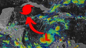
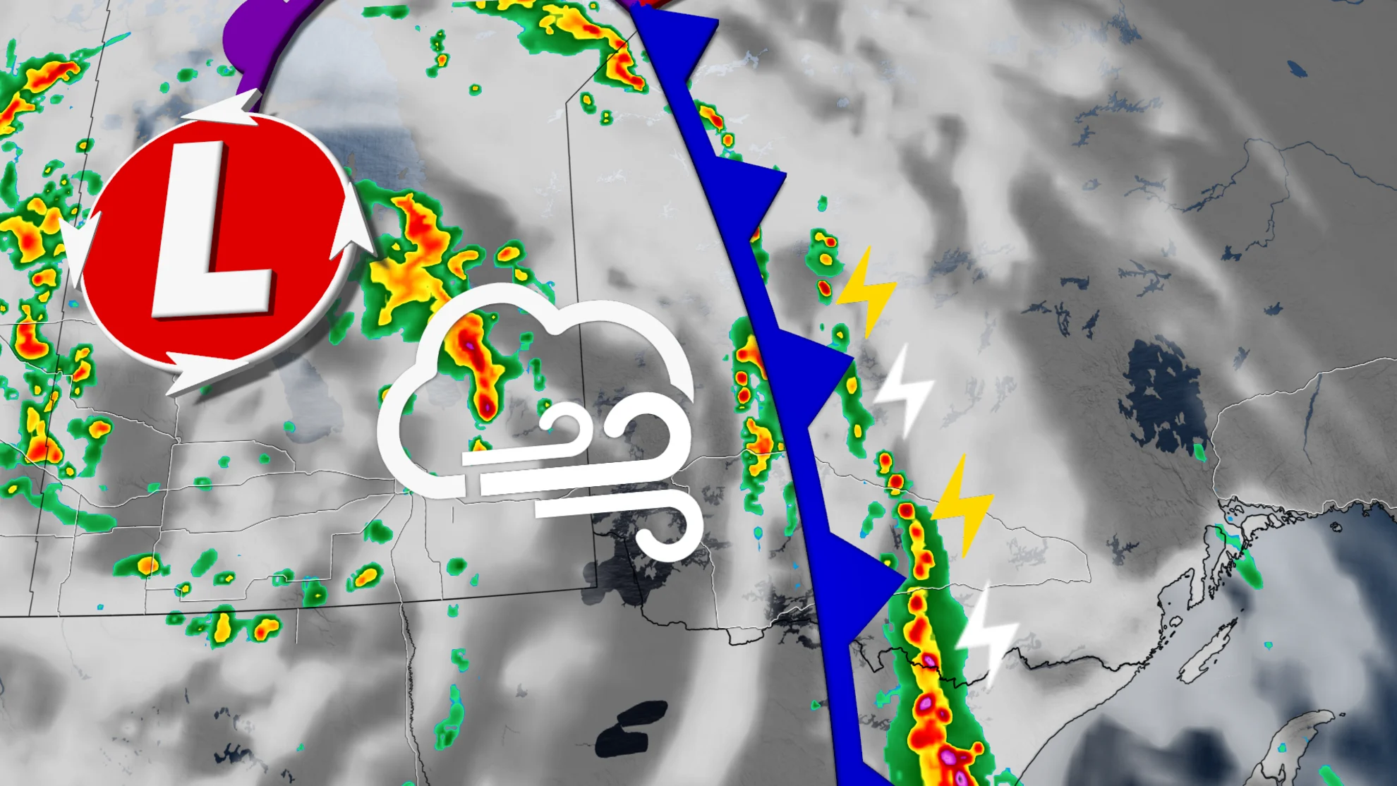
A Prairie low that has spent days maturing this week will provide its most impressive round of severe weather on Thursday.
Although the low will still be situated over the middle of the Prairies, the severe weather action will be mostly focused in northwestern Ontario. This will be the fourth day straight day that's included a tornado risk for the eastern Prairies or northern Ontario.
SEE ALSO: Major lull in Quebec's tornado season this year, possible first in 10 years
The cold front will feed on pockets of impressive energy west of Thunder Bay, helping to create a conducive environment for severe thunderstorms, and the threat for tornadoes, as well.

It will be important to pay close attention to the latest alerts in case severe weather occurs. Have a plan in place to seek safe shelter in case severe weather threatens your home, your office, or while you’re driving.
Thursday:
The most impressive dynamics for tornado potential will remain in Minnesota for the day on Thursday, but the risk will still extend as far north as Red Lake, Ontario.
Large hail, and damaging wind gusts exceeding 100 km/h will be the main hazards with storms that develop, as well as a tornado risk that covers the Kenora district, including the city of Dryden.

Thunder Bay will miss the strongest time frame of the storms, but post-sunset thunderstorms will reach Lake Superior.
SEE ALSO: Residents mop up as water from heavy downpour recedes in southeastern Manitoba
Meanwhile, southeastern Manitobans face a daunting clean-up, after back-to-back storm days brought flooding rains.
According to Environment and Climate Change Canada (ECCC), Elma, a community in the Whiteshell area of eastern Manitoba saw 205 millimetres in just a 36-hour period. As much as 155 mm of rain was recorded in the city of Steinbach between Monday and Tuesday.

With more rain and thunderstorms in the forecast, the ground will be unable to absorb additional downpours. Residents impacted by flooding are being urged to apply for the province's disaster financial assistance program.

Warm start to the weekend, but with ongoing storm risk
Very warm weather will continue into the weekend, as well as the risk for more showers and thunderstorms tracking east across the region. Temperatures will trend somewhat cooler behind the cold front, though still remaining on the warm side of seasonal.
Visit our Complete Guide to Fall 2024 for an in depth look at the Fall Forecast, tips to plan for it and much more!
Widespread rain is possible for areas east of Lake Superior and into western Quebec for early to mid next week. While next week will be noticeably cooler than this week, temperatures will continue to be warmer than normal, and trend about 5+ degrees above seasonal for the final days of September and possibly into the beginning of October, as well.
Stay tuned to The Weather Network for the latest forecast updates for northwestern Ontario.