Tornado watch issued for northwest Ontario on Friday evening
A tornado watch is in effect for northwestern Ontario on Friday evening
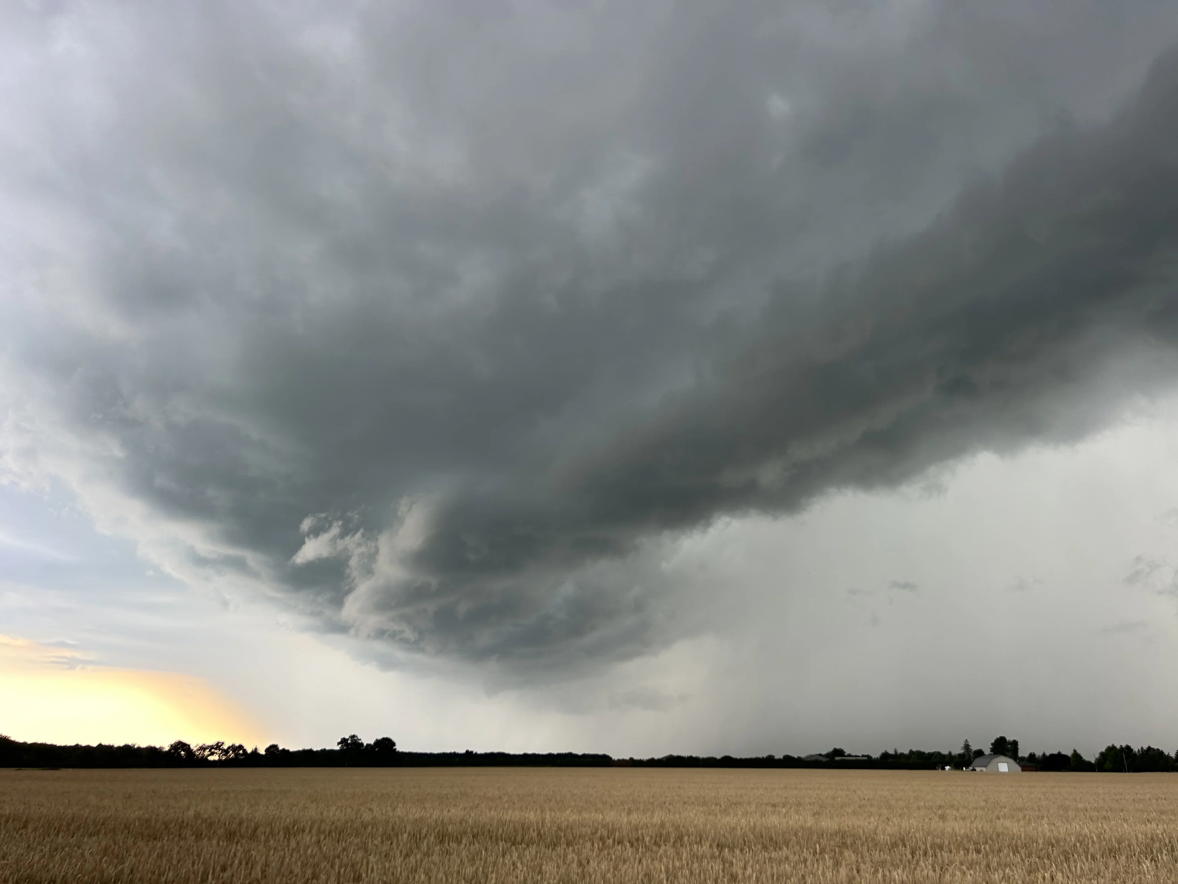
A tornado watch was issued for portions of northwestern Ontario on Friday evening amid a severe storm threat. A tornado watch means that conditions are favourable for the development of tornadoes.
The watch covered the following communities in northwestern Ontario:
Dryden - Vermilion Bay
Ear Falls - Perrault Falls - Western Lac Seul
Fort Frances - Emo - Rainy River
Kenora - Grassy Narrows - Whitedog
Red Lake - Woodland Caribou Park
Sioux Narrows - Nestor Falls - Morson

A boundary draped across the region could spark severe thunderstorms tonight. We'll see storms develop along the Manitoba/Ontario border or stateside and track northeast toward the Kenora and Dryden areas.
In addition to the threat for one or two tornadoes, dynamics appear favourable for the strongest storms to produce large hail up to the size of golf balls, as well as strong winds of 90-100+ km/h and heavy rainfall.
Pay close attention to the latest alerts in case the tornado watch is upgraded to a tornado warning in your area. Have a plan in place to seek safe shelter in case severe weather threatens your home, your office, or while you’re driving.