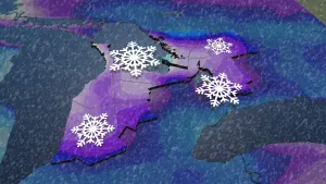
Mother Nature could brew up more storms Tuesday in Ontario and Quebec
Rain and thunderstorms could fire up again in parts of southern Ontario and Quebec Tuesday, potentially dampening any outdoor plans.
The same slow-moving low over the Great Lakes that delivered several tornado warnings near the Ontario and Quebec border Monday will stir up some trouble once again on Tuesday.
DON'T MISS: Forecast calls for flexible plans for your long Canada Day weekend
Tuesday and beyond
The same humid air mass means torrential rain that may disrupt commutes will once again be on the table. Localized rainfall amounts over 50 mm is possible with these storms, and since they’ll be moving quite slowly, that this will increase the threat of some flooding.

SEE ALSO: The science and celebration of the Summer Solstice
The greatest risk of severe thunderstorms will be across southern Quebec, where the upper-level winds will be more organized. The severe storm threat will be diminished across eastern Ontario compared to Monday, but we’ll still watch for a storm that approaches severe limits -- particularly closer to Highway 401 east of Brockville.
The Greater Toronto Area will see its final day of pop-up thunderstorm activity on Tuesday, with Wednesday looking quite fair and dry.
Current indications are that Canada Day looks unsettled with the risk of thunderstorms and some natural fireworks possible as another trough moves in.
Keep checking back to The Weather Network for more forecast information and updates for Ontario and Quebec.


