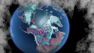
Severe storms persist across Alberta heading into Monday night
A severe storm risk in Alberta Monday includes a tornado chance for some locales, so be weather-aware and stay alert
Strong to severe thunderstorms will continue across Alberta heading into Monday night.
In fact, in addition to the risk for large hail, strong wind gusts, and heavy rainfall, one or two tornadoes are possible as the environment is looking at supporting supercells in parts of Alberta into Monday evening.
DON’T MISS: Startling video shows first moments of the south Jasper wildfire
Pay close attention to the radar as you go about your evening, and stay alert for potential watches and warnings issued in your area.
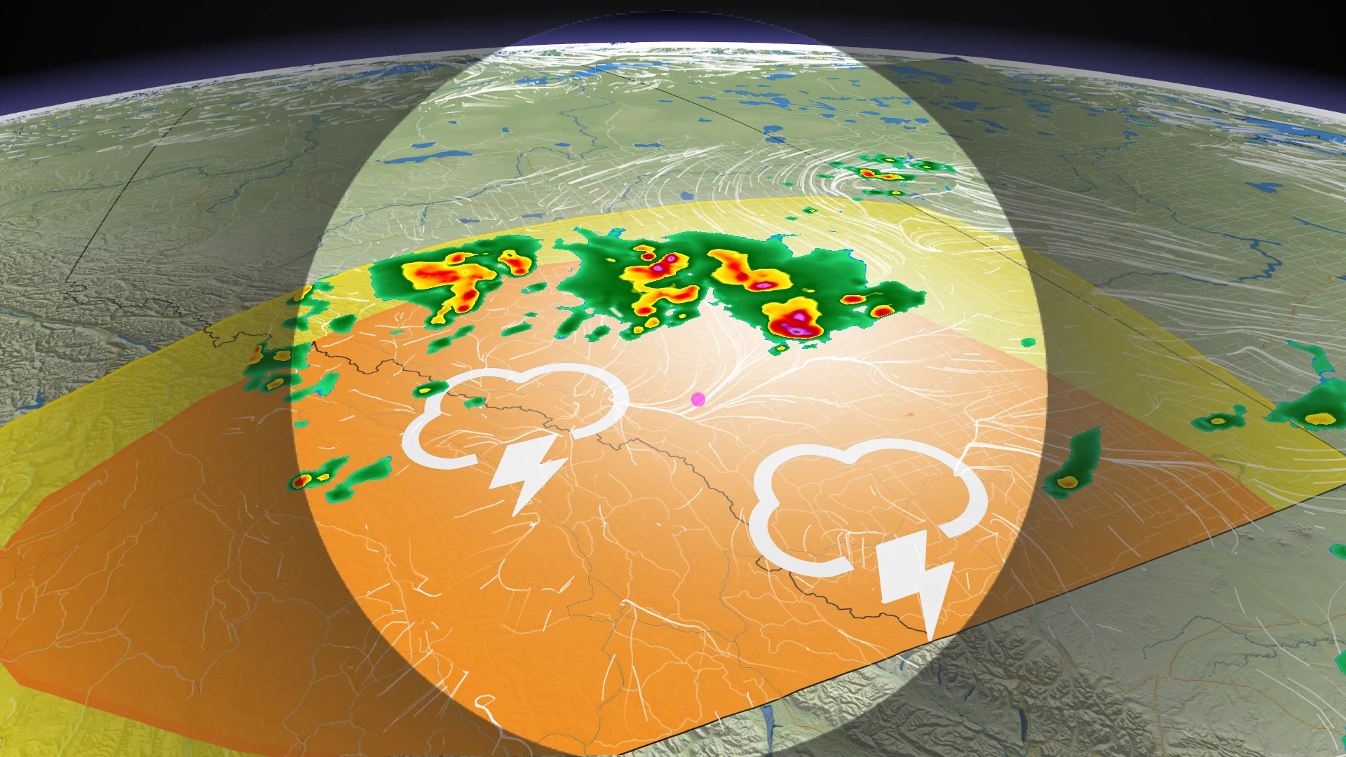
Severe storms into Monday night
An upper-level trough digging into Alberta triggered a round of strong to severe thunderstorms through the evening and overnight hours.

The greatest chance for severe thunderstorms will spread over southern Alberta, including Calgary and Red Deer. These storms will likely continue well into Monday evening and the pre-dawn hours on Tuesday as storms morph into a cluster east of Calgary.
Strong, damaging winds of 100+ km/h will be the main threat with the strongest storms on Monday, along with a risk for heavy rainfall and frequent lightning.

As well, one or two tornadoes are possible as the environment is looking at supporting supercells.
The tornado risk is in the forecast for the regions in the red but the timing of storm activity favours strong winds as the primary threat into the evening hours.
Beware the potential for additional wildfires as these thunderstorms traverse the province. Lightning can easily spark new blazes, especially in areas under high or extreme fire danger ratings.

Some good news is that beneficial rains are on the way for the Jasper wildfire complex, with the potential for 30 mm of rain over the next 48 hours.
CANADA'S WILDFIRES: Visit The Weather Network's wildfire hub to keep up with the latest on the active wildfire season across Canada
Looking ahead, there’s high confidence that an upper-level trough will sag into Alberta through this coming week, bringing below-seasonal temperatures to some communities.

Folks across southern Alberta could see temperatures as much as five degrees below seasonal, while areas up north will contend with temperatures more in line with average for this time of year.
Additionally, this trend would bring a wetter-than-normal pattern into central and southern areas of Alberta, bringing beneficial rainfall to improve the wildfire situation across the region.
WATCH: How is wildlife faring after the wildfire?
Header image submitted by Jeff Adams.
Stay tuned to The Weather Network for the latest forecast updates in Alberta.