PHOTOS: EF-1 tornado confirmed with Monday's damaging storms in Ontario, Quebec
Multiple rounds of tornado watches and warnings were issued for parts of eastern Ontario and southern Quebec to begin the work week, with Quebec's first twister of the year confirmed in the Montérégie region
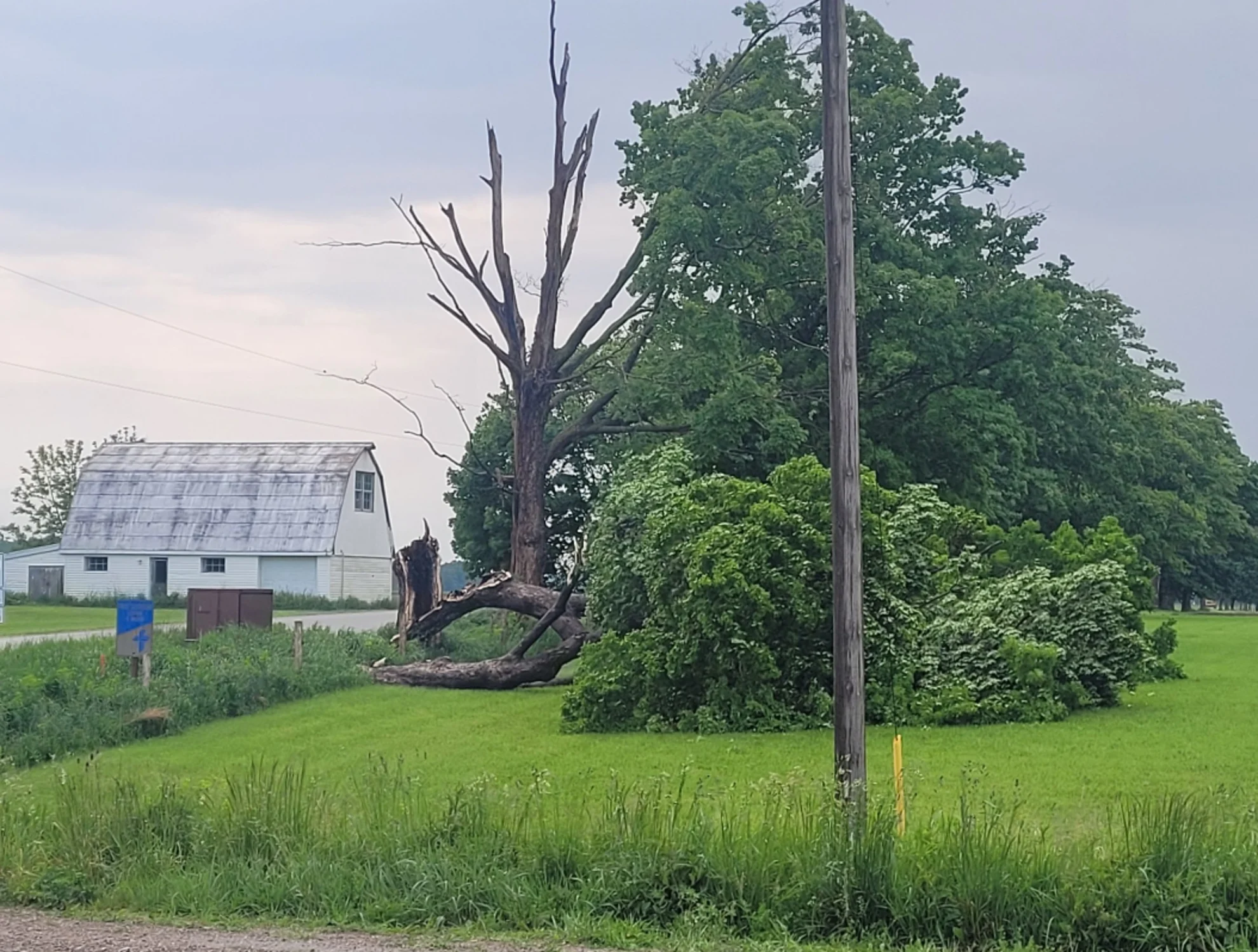
Multiple rounds of severe thunderstorms swept across eastern Ontario and southern Quebec on Monday, prompting tornado watches and warnings, and leaving a trail of downed trees, power outages, and localized damage in its wake.
A tornado was confirmed in Quebec's Montérégie region Monday evening -- the first of the year for the province.
At 5:30 p.m., the funnel cloud touched down near Rigaud, Que., affecting the localities of Très-Saint-Rédempteur and Pointe-Fortune –– about 70 kilometres west of Montreal, near the Ontario border. Some video footage shows a roof being blown from a house in the area. The tornado also uprooted or broke several mature trees, and caused damage to homes. According to Quebec provincial police, no injuries have been reported.
An investigation carried out by the Northern Tornadoes Project (NTP) determined the tornado had maximum wind speeds of around 155 km/h, with a path of 14 kilometres in length. The result is a EF-1 rating on the Enhanced Fujita scale.

MUST SEE: How severe weather alerts are issued, and potentially save lives

Other risks from Monday's storms included large hail, flooding rains, and damaging wind gusts up to 90 km/h. By Monday evening, more than 70,000 customers were left in the dark across southern Quebec.
Here's a closer look at some of the storm photos and videos as it progressed through Monday:
Thumbnail image courtesy: WxOntario/X


