Ontario: Weekend system threatens 20+ cm of snow, 20 mm of rain
Plan ahead: Another weekend will be impacted by messy system, bringing rain, wet snow and possible ice pellets for some
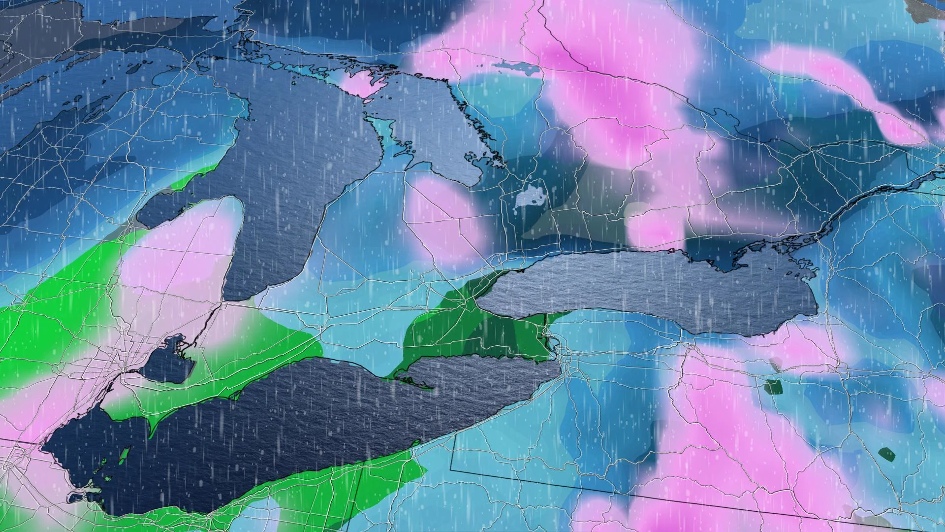
The trend of unsettled weekend weather continues in southern Ontario, as another system will move in Friday, bringing rain, wet snow and a risk of ice pellets that could impact travel plans across the region through Sunday. Precipitation will start off as rain as the low moves into the southwest in the late morning hours, but will then transition to wet snow or ice pellets overnight and into Saturday morning in parts of the northern GTA and cottage country. We have more details on the timing of this weekend storm and the precipitation types involved, below.
WEATHER HIGHLIGHTS:
Skies darken Friday afternoon as next system moves into southwestern Ontario
20+ cm of snow, 20 mm of rain, along with risk of ice pellets, for parts of southern, eastern and central Ontario
Above seasonal temperatures expected to linger through early February
Stay up-to-date on the ALERTS in your area
INTO THE WEEKEND: RAIN MOVES IN THE AFTERNOON, SOME UNCERTAINTY WITH TIMING
Conditions will remain fair through Friday morning for most of the Golden Horseshoe, but things will quickly change in the late morning and early afternoon as a low-pressure system moves into the southwest, bringing heavy rain that will become widespread in the south through the evening hours.

Through Sunday morning, 15-25 mm of rain is expected along the shores of Lake Ontario, through to the Golden Horseshoe and Niagara region. Widespread amounts of 10-20 mm could fall in the southwest. The rain will change to wet snow and possible ice pellets in the northern GTA and cottage country during the pre-dawn hours Saturday through the morning, before switching to just snow in the afternoon.
However, if temperatures are just a degree colder than expected, then we will see a much quicker transition to heavy wet snow. The heavy wet snow is likely across much of eastern Ontario and parts of the northern and eastern GTA. Because of the marginal temperatures, there will be a wide range in snow totals across the region.

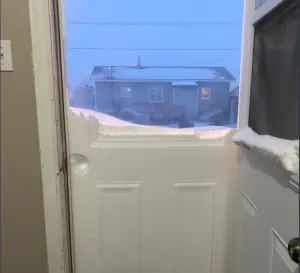
Portions of central and eastern Ontario will see 10-20 cm of wet snow with a potential for this to become a significant problem for trees – with tree damage and power outages possible. Peterborough and surrounding areas east could get up to 25 cm of snow through Sunday morning.

"Still a very tricky and close call for Montreal and for the 401 corridor through Toronto. Occasional wet snow is expected for Saturday night and into Sunday morning, with a few cm of slushy snow across the region," says Weather Network meteorologist Dr. Doug Gillham. "Temperatures will be near or just above freezing through the day on Sunday."
TIMING THE STORM: UNCERTAINTY REGARDING TRACK AND PRECIPITATION CHANGE
However, there is still some uncertainty with this system -- the third in a row to impact southern Ontario on a weekend -- and it will be much more tricky of a forecast than the previous one due to its track and temperatures.
"We will see rain, mixing, snow and even the chance for some icy precipitation this weekend," says meteorologist Kelly Sonnenburg. "At this point, the areas for the greatest snowfall look to be focused to parts of eastern Ontario from Peterborough towards Kingston and Ottawa."
Please check back as we continue to monitor this system.
WHY POWER OUTAGES WILL BE POSSIBLE:
WARMER AIR CONTINUES INTO EARLY FEBRUARY
Although above seasonal temperatures are expected to continue through next week and into the first week of February, this winter has shown that it's still completely possible to get snow accumulations in a milder pattern. Several major cities, including Toronto and Ottawa, have already received well above normal snowfall for the season so far.
"January temperatures are running well above seasonal, but we have also received above-normal snowfall," Gillham says, adding there are indications of a return to more typical winter temperatures beyond Feb. 5, but confidence is low as to whether there will be an extended period of cold weather.


